Transport Functions
Rail
Road
Airport
Hub Profile
Place type
District seat
Region
Schleswig-Holstein
Population
20,599
Time zone
Europe/Berlin
Elevation
14 m
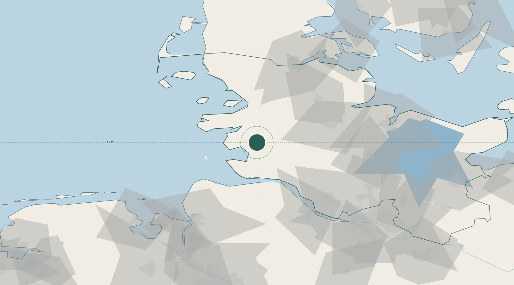
Location
Nearby Logistics Neighbours
Cities
- 1Hemmingstedt4 km
- 2Rehm-Flehde-Bargen12 km
- 3Schülper Neuensiel14 km
- 4Pahlhude18 km
- 5Eggstedt19 km
Ports
- 1Busum15 km
- 2Husum33 km
- 3Brunsbuttel Elbahafen34 km
- 4Itzehoe41 km
- 5Rendsburg41 km
Airports
Trade Zones
DatabookThe Record of Consolidated Knowledge
Germany beyond logistics?