Transport Functions
Port
Road
Hub Profile
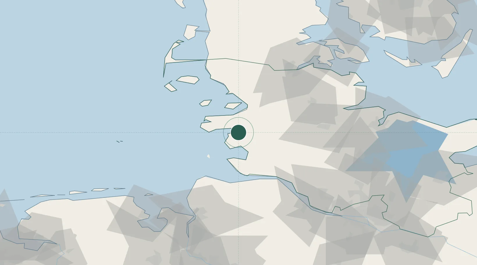
Place type
Populated place
Region
Schleswig-Holstein
Time zone
Europe/Berlin
Elevation
1 m
Location
Nearby Logistics Neighbours
Cities
- 1Vollerwiek9 km
- 2Garding12 km
- 3Heide14 km
- 4Rehm-Flehde-Bargen15 km
- 5Hemmingstedt16 km
Ports
- 1Busum15 km
- 2Husum25 km
- 3Brunsbuttel Elbahafen45 km
- 4Cuxhaven47 km
- 5Rendsburg49 km
Airports
Trade Zones
DatabookThe Record of Consolidated Knowledge
Germany beyond logistics?