Transport Functions
Multimodal
Hub Profile
Place type
Local administrative seat
Region
Schleswig-Holstein
Population
212
Time zone
Europe/Berlin
Elevation
0 m
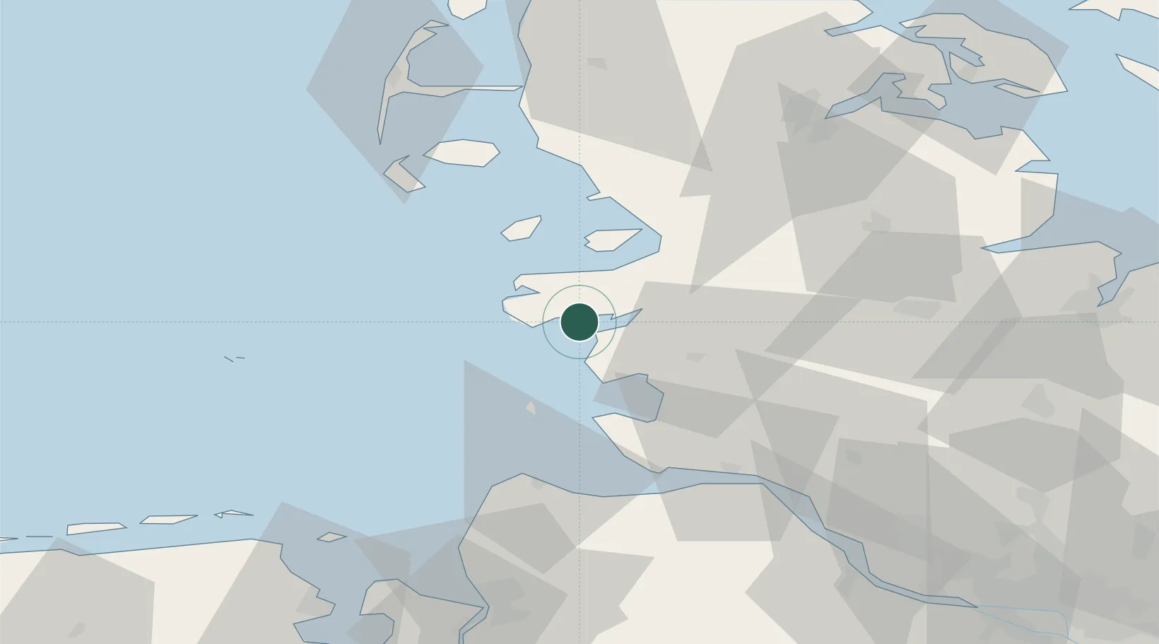
Location
Nearby Logistics Neighbours
Cities
- 1Garding6 km
- 2Schülper Neuensiel9 km
- 3Heide22 km
- 4Hemmingstedt23 km
- 5Rehm-Flehde-Bargen24 km
Ports
- 1Busum17 km
- 2Husum28 km
- 3Cuxhaven47 km
- 4Brunsbuttel Elbahafen51 km
- 5Neuhaus56 km
Airports
Trade Zones
DatabookThe Record of Consolidated Knowledge
Germany beyond logistics?