Channel & Berth Profile
Pilotage, Tugs & Services
Pilotage compulsoryNO
Pilotage availableYES
Pilotage advisableYES
Tug assistanceYES
Shore powerYES
Potable waterYES
Diesel bunkersYES
MedicalYES
Garbage disposalYES
Facilities & Capabilities
Container—
Ro-Ro—
Liquid bulk—
Dry bulk—
Oil terminal—
Break bulk—
Dry dock—
RepairsNO
BunkeringYES
Rail linkYES
Dangerous cargo—
ISPS security—
Harbour Specifications
Harbour size
Very Small
Harbour type
River (Natural)
Shelter
Fair
Water body
North Sea; North Atlantic Ocean
Tidal range
3 m
Overhead limit
Yes
Pilotage
No
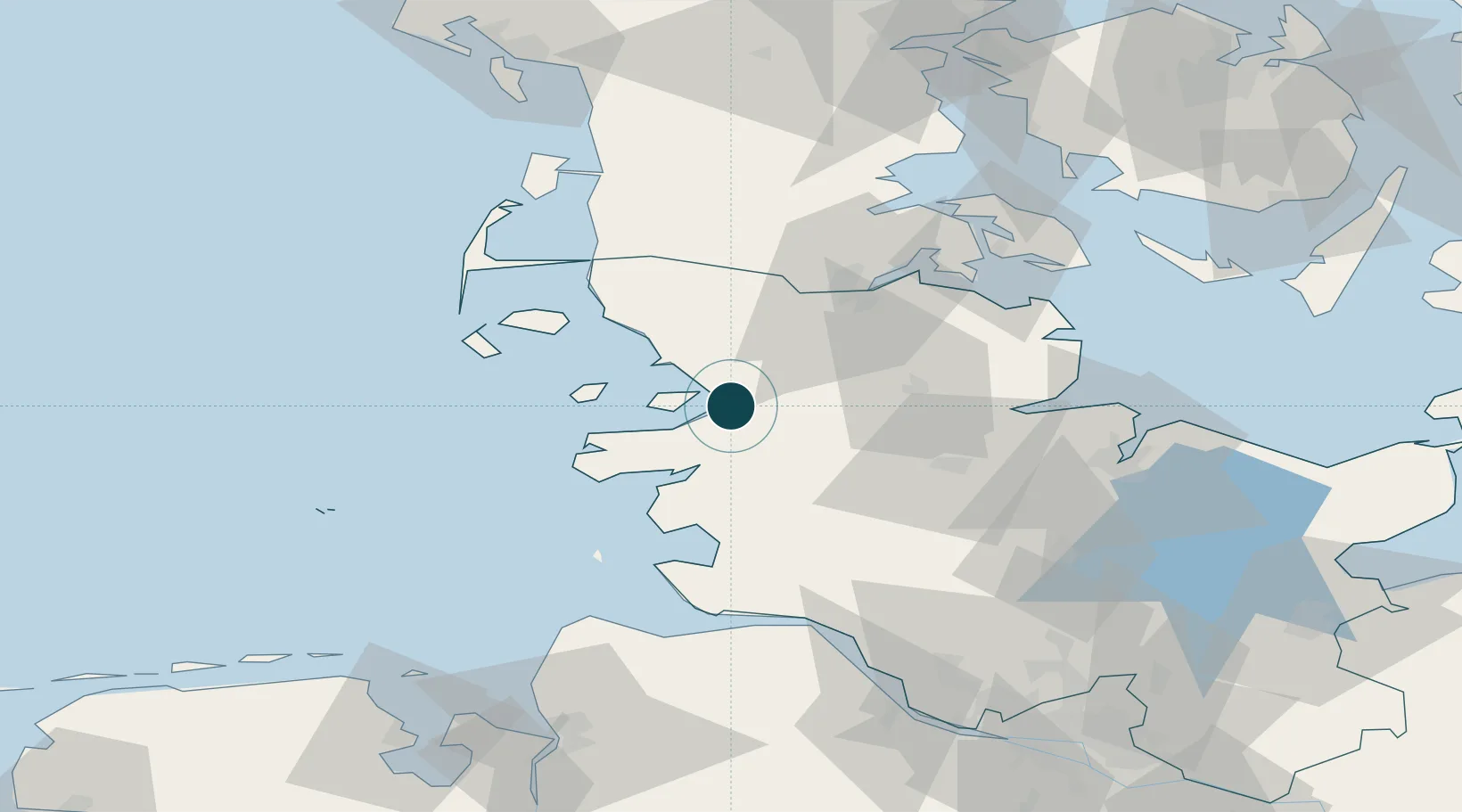
Location
Nearby Logistics Neighbours
Ports
- 1Busum41 km
- 2Flensburg43 km
- 3Rendsburg46 km
- 4Eckernforde51 km
- 5Kappeln61 km
Cities
- 1Wester-Ohrstedt9 km
- 2Nordstrand11 km
- 3Rehm-Flehde-Bargen24 km
- 4Jübek24 km
- 5Garding24 km
Airports
- 1Schleswig Air Base30 km
- 2Hohn Air Base37 km
- 3Heide-Büsum Airport38 km
- 4Westerland Sylt Airport66 km
- 5Sønderborg Airport72 km
Trade Zones
DatabookThe Record of Consolidated Knowledge
Germany beyond logistics?