Transport Functions
Rail
Road
Hub Profile
Place type
Local administrative seat
Region
Schleswig-Holstein
Population
2,986
Time zone
Europe/Berlin
Elevation
9 m
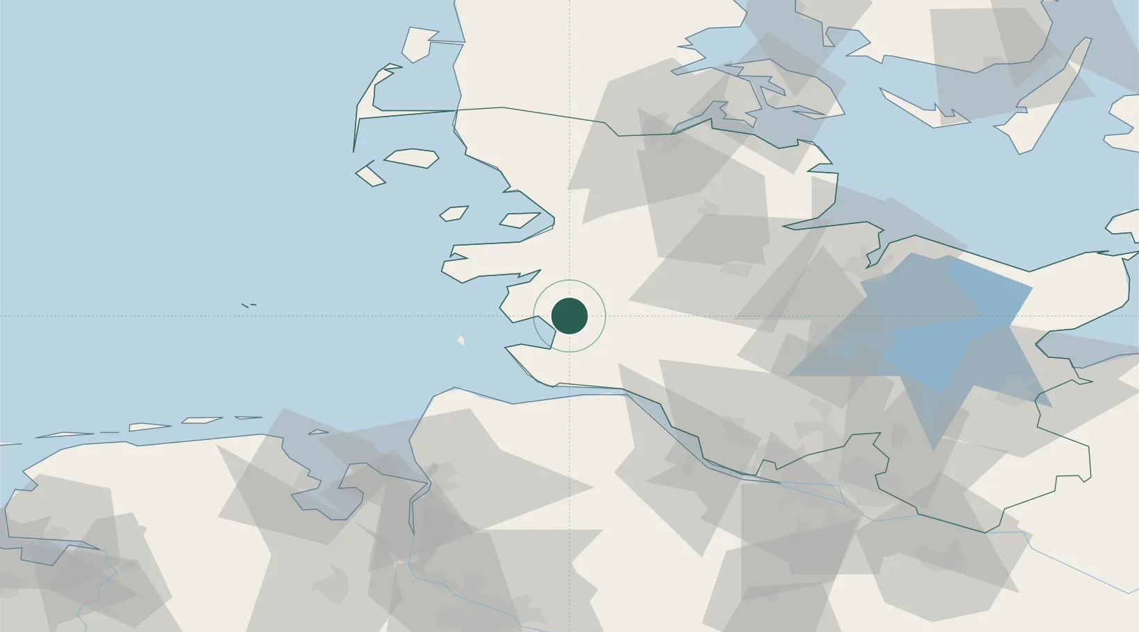
Location
Nearby Logistics Neighbours
Cities
- 1Heide4 km
- 2Schülper Neuensiel16 km
- 3Rehm-Flehde-Bargen16 km
- 4Eggstedt17 km
- 5Sankt Michaelisdonn19 km
Ports
- 1Busum13 km
- 2Brunsbuttel Elbahafen30 km
- 3Husum37 km
- 4Cuxhaven39 km
- 5Neuhaus39 km
Airports
Trade Zones
DatabookThe Record of Consolidated Knowledge
Germany beyond logistics?