Transport Functions
Multimodal
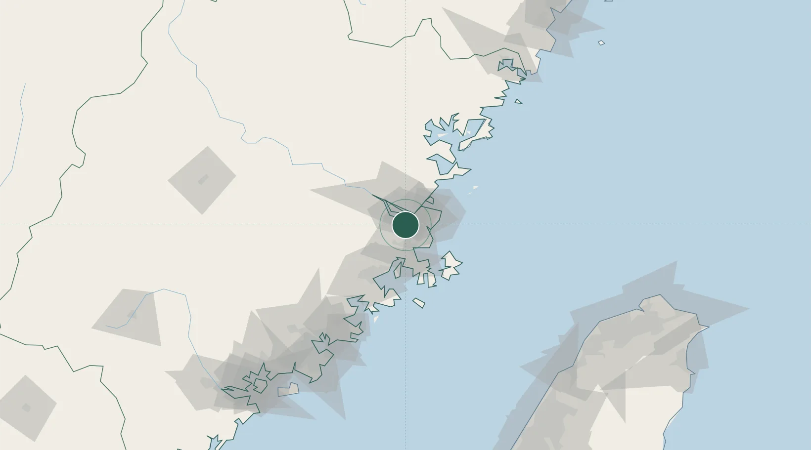
Hub Profile
Place type
Populated place
Region
Fujian
Time zone
Asia/Shanghai
Elevation
7 m
Location
Nearby Logistics Neighbours
Cities
- 1Fuzhou1 km
- 2Mawei Pt13 km
- 3Xialong20 km
- 4Taijiang25 km
- 5Songxia Pt30 km
Airports
- 1Fuzhou Air Base15 km
- 2Fuzhou Changle International Airport29 km
- 3Longtian Air Base35 km
- 4Fuzhou Zhuqi Heliport38 km
- 5Matsu Nangan Airport65 km
Trade Zones
DatabookThe Record of Consolidated Knowledge
China beyond logistics?