Seaport · Taiwan
Tai-Chung KangTWTXG
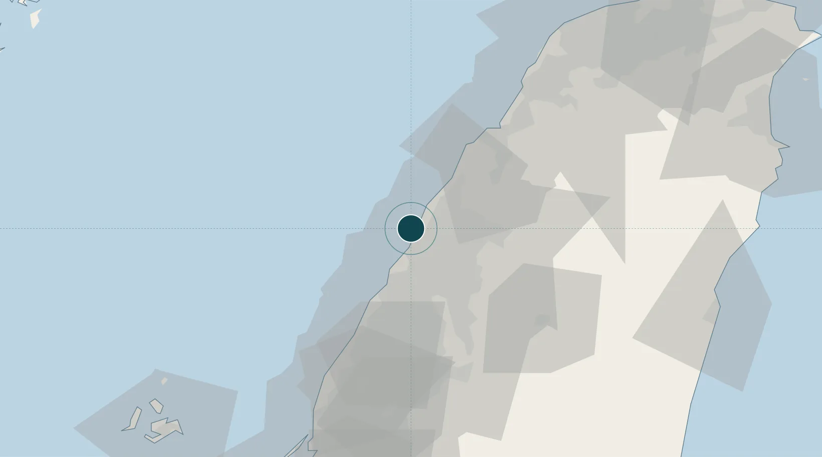
24.3000°, 120.5000°
16.0 m
Channel depth
3
Container terminals
255.0
Port liner connectivity
Channel & Berth Profile
Pilotage, Tugs & Services
Pilotage compulsoryYES
Pilotage availableYES
Pilotage advisableYES
Local assistanceYES
Tug assistanceYES
Salvage tugsYES
Shore powerYES
Potable waterYES
Diesel bunkersYES
MedicalYES
Garbage disposalYES
Facilities & Capabilities
ContainerYES
Ro-Ro—
Liquid bulkYES
Dry bulkYES
Oil terminal—
Break bulkYES
Dry dock—
RepairsNO
BunkeringYES
Rail linkYES
Dangerous cargoALLOW
ISPS security—
Harbour Specifications
Harbour size
Large
Harbour type
Coastal (Natural)
Shelter
Excellent
Water body
Taiwan Strait; North Pacific Ocean
Tidal range
3.6 m
Overhead limit
No
Pilotage
Yes
Liner Connectivity
255
PLSCI
Port Liner Shipping Connectivity Index for Tai-Chung Kang, as published by UNCTAD for the latest available quarter. Higher values indicate stronger scheduled liner-shipping integration.
Shown relative to the highest per-port PLSCI in the dataset (1,657.9).
Location
Container Terminals · 3
CCTC TERMINAL TAICHUNG (W10-W11)
CCTC CHINA CONTAINER TERMINAL CO., LTD.
EVERGREEN TERMINAL TAICHUNG (W32-W33)
EVER EVERGREEN MARINE CORP. (TAIWAN) LTD.
WAN HAI TERMINAL TAICHUNG (W34-W35)
WANH WAN HAI LINES LTD.
Nearby Logistics Neighbours
Ports
- 1Mailiao67 km
- 2Hua-Lien Kang117 km
- 3Peng-Hu Kang127 km
- 4Tan-Shui134 km
- 5Su-Ao142 km
Cities
- 1Feng-yüan-ch'ü23 km
- 2Wu-jih25 km
- 3Chang-Hua26 km
- 4Miao-li42 km
- 5Nantou48 km
Airports
DatabookThe Record of Consolidated Knowledge
Taiwan beyond logistics?