UN/LOCODE hub · China
CNFZH
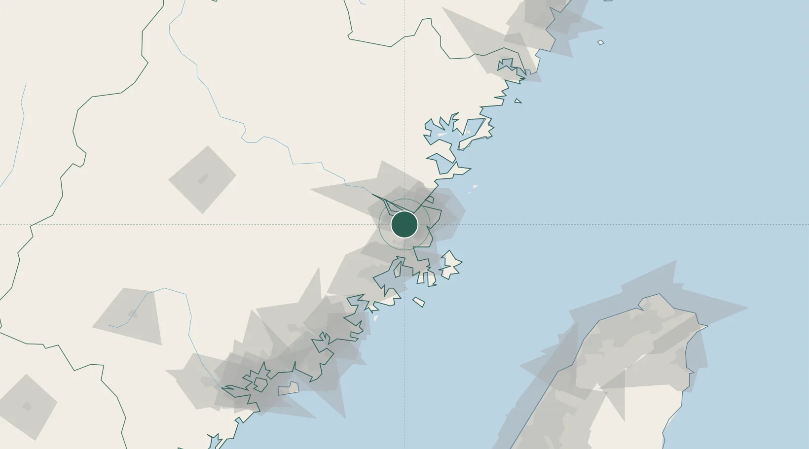
Fuzhou
25.8819°, 119.3748°
3,740,000
Population
3
Transport functions
2
Container terminals
Transport Functions
Port
Airport
Postal
Hub Profile
Place type
Regional capital
Region
Fujian
Population
3,740,000
Time zone
Asia/Shanghai
Elevation
14 m
Logistics facilities
4
Container terminals
2
Location
Nearby Logistics Neighbours
Cities
- 1Qingpu1 km
- 2Mawei Pt14 km
- 3Xialong20 km
- 4Taijiang26 km
- 5Songxia Pt30 km
Ports
- 1Xiuyu82 km
- 2Quanzhou136 km
- 3Zhangzhou182 km
- 4Xiamen207 km
- 5Tai-Chung Kang209 km
Airports
- 1Fuzhou Air Base15 km
- 2Fuzhou Changle International Airport30 km
- 3Longtian Air Base35 km
- 4Fuzhou Zhuqi Heliport38 km
- 5Matsu Nangan Airport66 km
Trade Zones
DatabookThe Record of Consolidated Knowledge
China beyond logistics?