Channel & Berth Profile
Pilotage, Tugs & Services
Pilotage compulsoryYES
Potable waterYES
Facilities & Capabilities
Container—
Ro-Ro—
Liquid bulk—
Dry bulk—
Oil terminal—
Break bulk—
Dry dock—
RepairsNO
Bunkering—
Rail link—
Dangerous cargo—
ISPS security—
Harbour Specifications
Harbour size
Very Small
Harbour type
Open Roadstead
Shelter
Fair
Water body
Drake Passage; South Atlantic Ocean
Tidal range
2 m
Pilotage
Yes
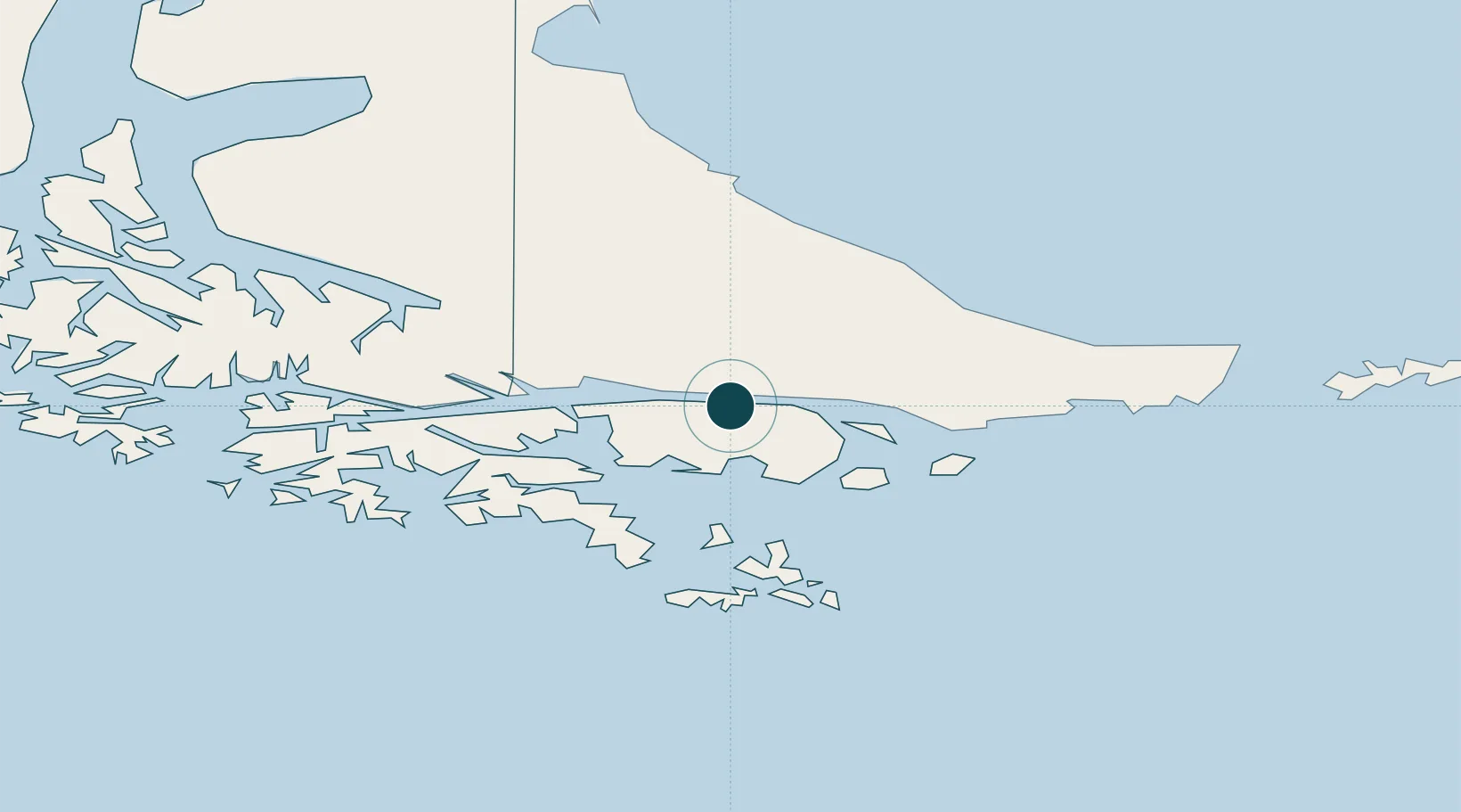
Location
Nearby Logistics Neighbours
Ports
- 1Ushuaia47 km
- 2Rio Grande128 km
- 3San Sebastian Bay205 km
- 4Caleta Clarencia279 km
- 5Rada Punta Arenas292 km
Cities
- 1Ushuaia45 km
- 2Cabo de Hornos118 km
- 3Río Grande128 km
- 4San Sebastián190 km
- 5Rio Cullen240 km
Airports
DatabookThe Record of Consolidated Knowledge
Chile beyond logistics?