Medium airport · Chile
Guardia Marina Zañartu AirportSCGZ
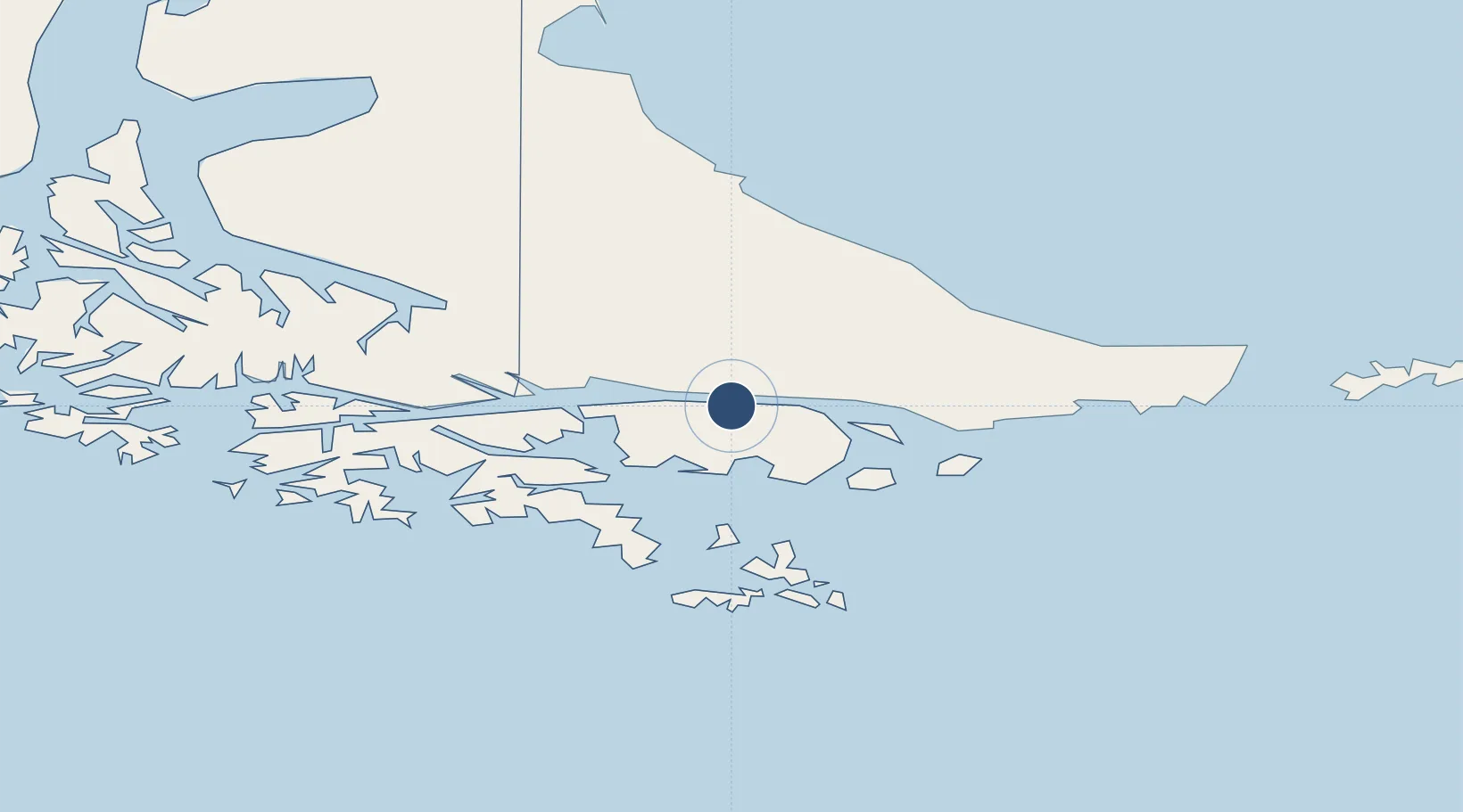
-54.9311°, -67.6263°
4,724 ft
Longest runway
1
Runways
88 ft
Elevation
Runway & Layout

Radio Frequencies
TWR
118.5 MHz
WILLIAMS APP/TWR
Navaids
PWL VOR-DME Puerto Williams 114.90 MHz
Runways · 1
| Runway | Dimensions | Surface | True heading | Lit |
|---|---|---|---|---|
| 08/26 | 4,724 × 95ft | Asphalt | 091° | ✓ |
Airport Specifications
IATA code
WPU
ICAO code
SCGZ
Airport class
Medium airport
Scheduled service
No
Runway surface
Asphalt
Served city
Puerto Williams
Location
Nearby Logistics Neighbours
Airports
Cities
- 1Puerto Williams2 km
- 2Ushuaia44 km
- 3Cabo de Hornos118 km
- 4Río Grande128 km
- 5San Sebastián190 km
Ports
- 1Puerto Williams2 km
- 2Ushuaia45 km
- 3Rio Grande128 km
- 4San Sebastian Bay204 km
- 5Caleta Clarencia278 km
DatabookThe Record of Consolidated Knowledge
Chile beyond logistics?