Transport Functions
Port
Hub Profile
Region
MA
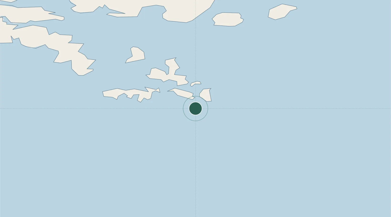
Location
Nearby Logistics Neighbours
Cities
- 1Puerto Williams120 km
- 2Ushuaia147 km
- 3Río Grande245 km
- 4San Sebastián308 km
- 5Rio Cullen358 km
Ports
- 1Puerto Williams118 km
- 2Ushuaia146 km
- 3Rio Grande245 km
- 4San Sebastian Bay322 km
- 5Caleta Clarencia389 km
Airports
DatabookThe Record of Consolidated Knowledge
Chile beyond logistics?