UN/LOCODE hub · Chile
CLWPU
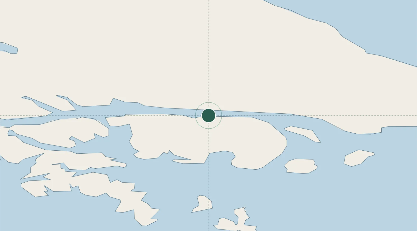
Puerto Williams
-54.9167°, -67.6167°
2,000
Population
2
Transport functions
Transport Functions
Port
Airport
Hub Profile
Place type
Provincial seat
Region
Region of Magallanes
Population
2,000
Time zone
America/Santiago
Elevation
7 m
Location
Nearby Logistics Neighbours
Cities
- 1Ushuaia44 km
- 2Cabo de Hornos120 km
- 3Río Grande126 km
- 4San Sebastián188 km
- 5Rio Cullen238 km
Ports
- 1Ushuaia45 km
- 2Rio Grande126 km
- 3San Sebastian Bay203 km
- 4Caleta Clarencia277 km
- 5Rada Punta Arenas290 km
Airports
DatabookThe Record of Consolidated Knowledge
Chile beyond logistics?