UN/LOCODE hub · Argentina
ARUSH
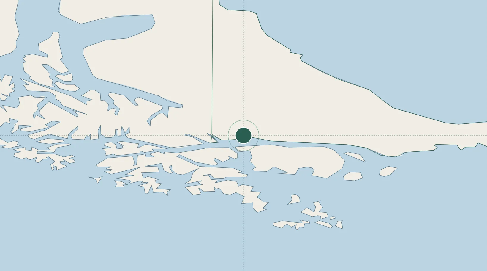
Ushuaia
-54.7959°, -68.2639°
56,825
Population
2
Transport functions
1
Container terminals
Transport Functions
Port
Airport
Hub Profile
Place type
Regional capital
Region
Tierra del Fuego
Population
56,825
Time zone
America/Argentina/Ushuaia
Elevation
6 m
Logistics facilities
9
Container terminals
1
Location
Nearby Logistics Neighbours
Cities
- 1Puerto Williams44 km
- 2Río Grande118 km
- 3Cabo de Hornos147 km
- 4San Sebastián167 km
- 5Rio Cullen222 km
Ports
- 1Puerto Williams45 km
- 2Rio Grande119 km
- 3San Sebastian Bay182 km
- 4Caleta Clarencia243 km
- 5Rada Punta Arenas250 km
Airports
DatabookThe Record of Consolidated Knowledge
Argentina beyond logistics?