Channel & Berth Profile
Pilotage, Tugs & Services
Pilotage compulsoryYES
Pilotage availableYES
Tug assistanceYES
Potable waterYES
Diesel bunkersYES
MedicalYES
Garbage disposalYES
Facilities & Capabilities
Container—
Ro-Ro—
Liquid bulk—
Dry bulk—
Oil terminal—
Break bulk—
Dry dock—
RepairsNO
BunkeringYES
Rail link—
Dangerous cargo—
ISPS security—
Harbour Specifications
Harbour size
Small
Harbour type
Open Roadstead
Shelter
Poor
Water body
South Atlantic Ocean
Tidal range
1 m
Overhead limit
Yes
Pilotage
Yes
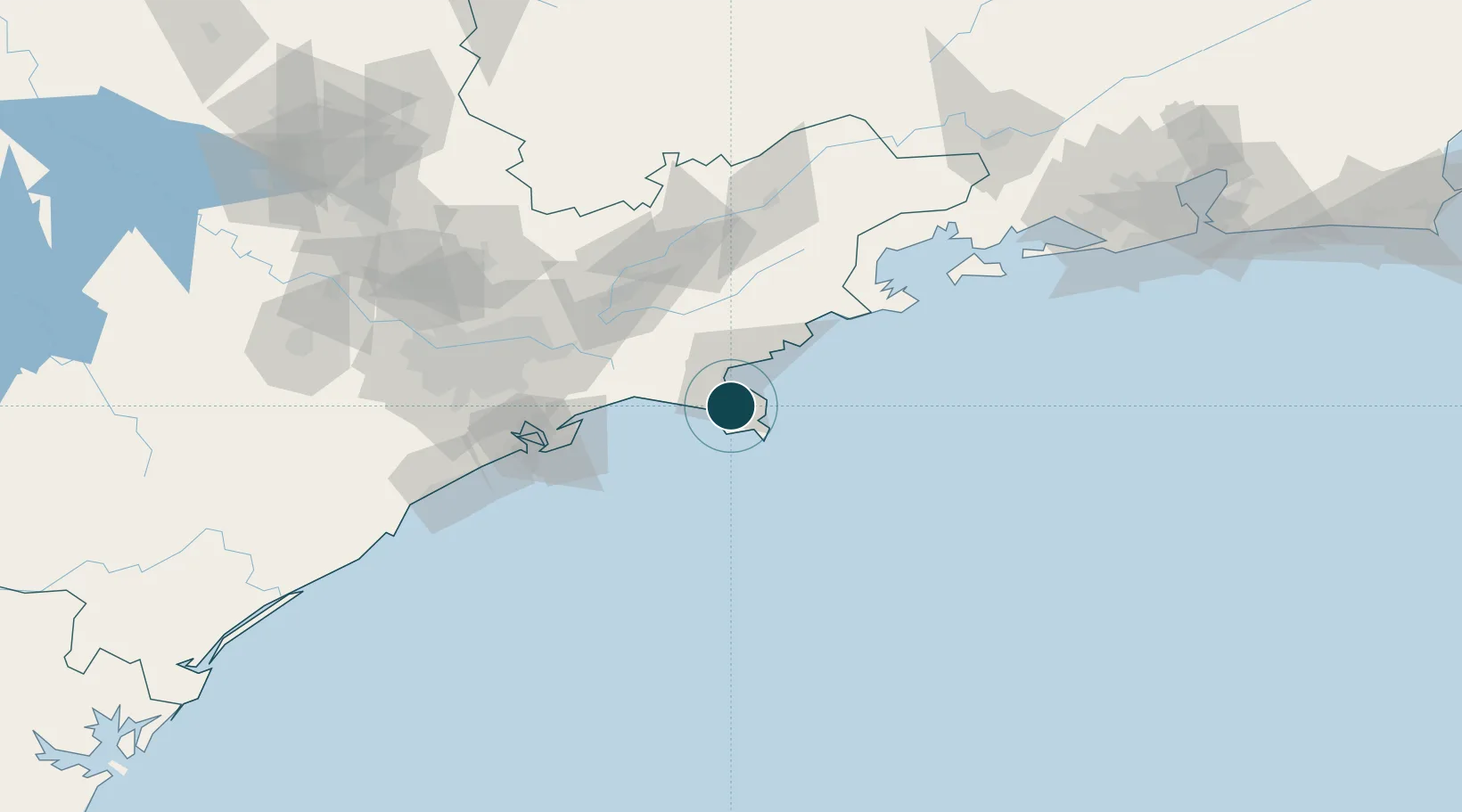
Location
Nearby Logistics Neighbours
Ports
- 1Santos93 km
- 2Angra Dos Reis141 km
- 3Rio De Janeiro249 km
- 4Niteroi254 km
- 5Porto Do Forno358 km
Cities
- 1Ilhabela5 km
- 2Ubatuba53 km
- 3Jacareí80 km
- 4Caçapava84 km
- 5São José dos Campos84 km
Airports
Trade Zones
- 1ZPE de Itaguaí (RJ)193 km
- 2ZPE do Açú (RJ)497 km
- 3ZPE de Uberaba (MG)529 km
- 4ZPE de Imbituba (SC)529 km
- 5ZPE de Fernandópolis (SP)635 km
DatabookThe Record of Consolidated Knowledge
Brazil beyond logistics?