Channel & Berth Profile
Pilotage, Tugs & Services
Pilotage compulsoryYES
Pilotage availableYES
Tug assistanceNO
Salvage tugsNO
Potable waterYES
Garbage disposalYES
Facilities & Capabilities
Container—
Ro-Ro—
Liquid bulk—
Dry bulk—
Oil terminal—
Break bulk—
Dry dock—
Repairs—
BunkeringYES
Rail link—
Dangerous cargo—
ISPS security—
Harbour Specifications
Harbour size
Very Small
Harbour type
Coastal (Natural)
Shelter
Fair
Water body
South Atlantic Ocean
Tidal range
2 m
Pilotage
Yes
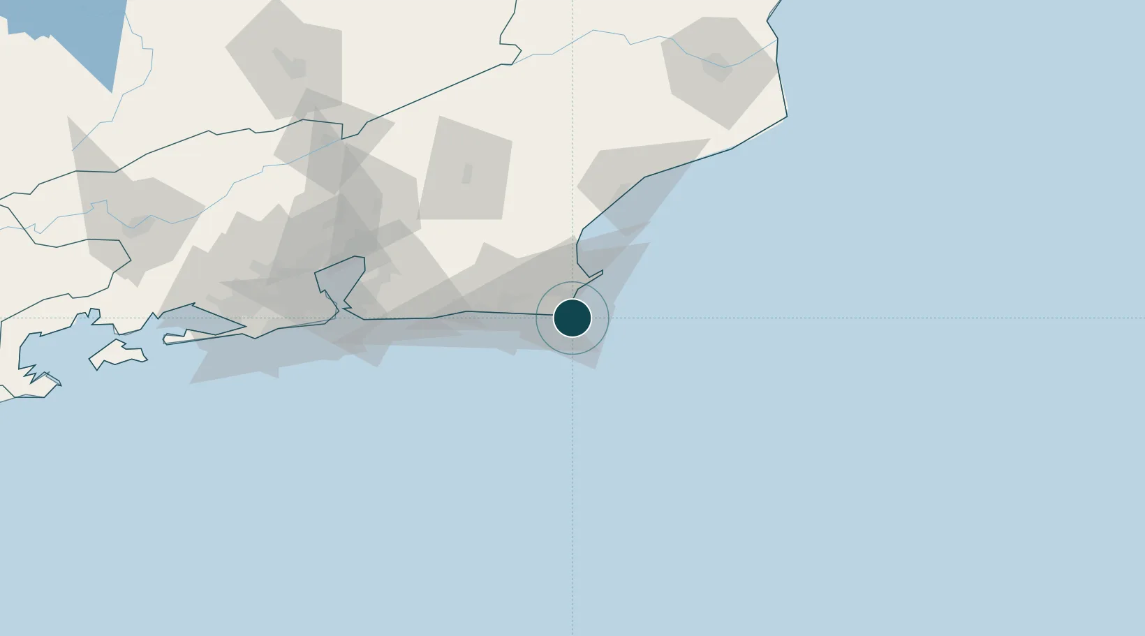
Location
Nearby Logistics Neighbours
Ports
- 1Macae72 km
- 2Niteroi113 km
- 3Rio De Janeiro118 km
- 4Angra Dos Reis236 km
- 5Vitoria342 km
Cities
- 1Cabo Frio11 km
- 2Armação dos Búzios28 km
- 3Macaé72 km
- 4Maricá82 km
- 5São Gonçalo104 km
Airports
Trade Zones
- 1ZPE do Açú (RJ)161 km
- 2ZPE de Itaguaí (RJ)180 km
- 3ZPE de Aracruz (ES)412 km
- 4ZPE de Teófilo Otoni (MG)570 km
- 5ZPE de Uberaba (MG)717 km
DatabookThe Record of Consolidated Knowledge
Brazil beyond logistics?