UN/LOCODE hub · Brazil
BRSSO
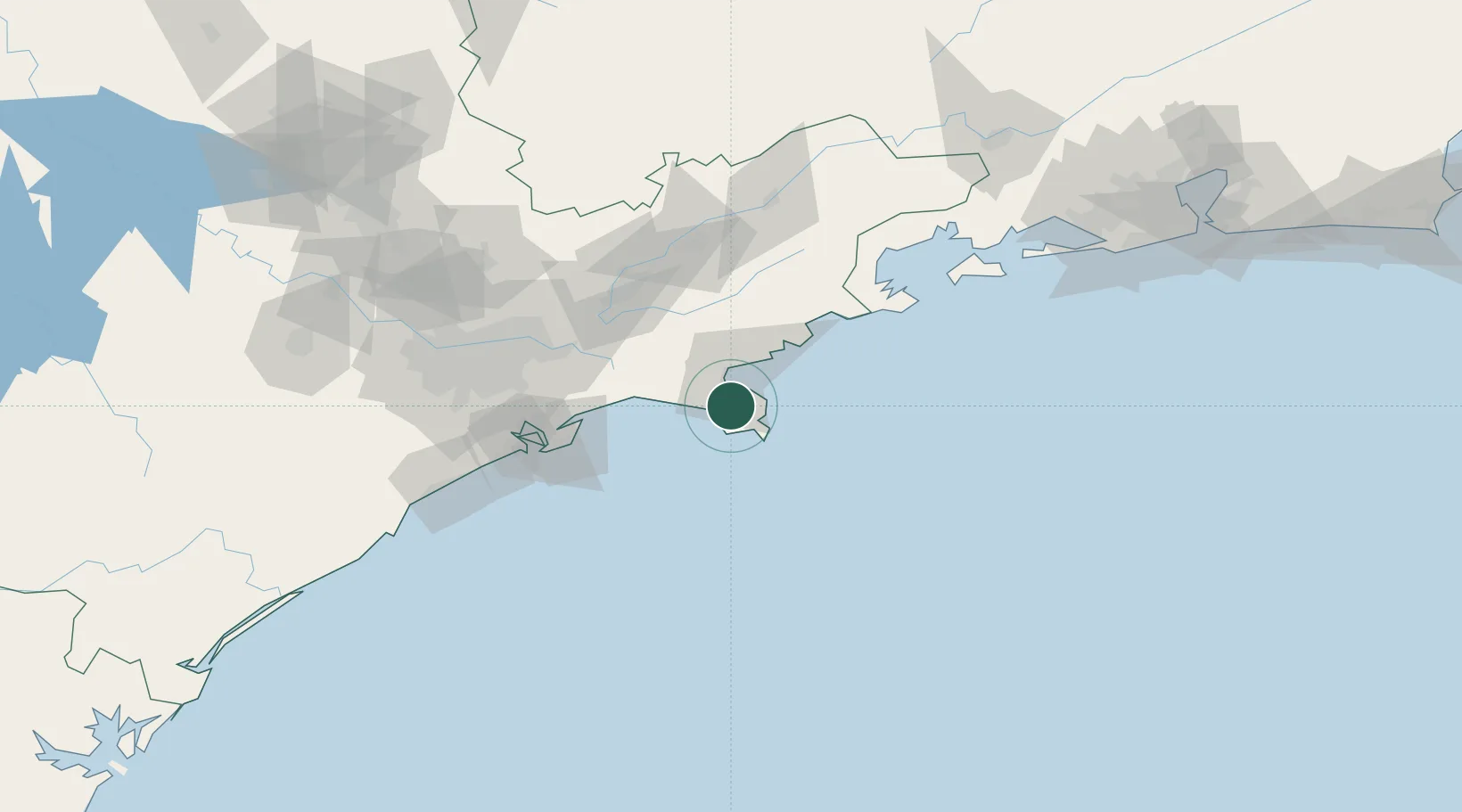
São Sebastião
-23.8000°, -45.4000°
81,595
Population
3
Transport functions
Transport Functions
Port
Road
Multimodal
Hub Profile
Place type
Populated place
Region
São Paulo
Population
81,595
Time zone
America/Sao_Paulo
Elevation
6 m
Location
Nearby Logistics Neighbours
Cities
- 1Ilhabela5 km
- 2Ubatuba53 km
- 3Jacareí80 km
- 4Caçapava84 km
- 5São José dos Campos84 km
Ports
- 1Santos93 km
- 2Angra Dos Reis141 km
- 3Rio De Janeiro249 km
- 4Niteroi254 km
- 5Porto Do Forno358 km
Airports
Trade Zones
- 1ZPE de Itaguaí (RJ)193 km
- 2ZPE do Açú (RJ)497 km
- 3ZPE de Uberaba (MG)529 km
- 4ZPE de Imbituba (SC)529 km
- 5ZPE de Fernandópolis (SP)635 km
DatabookThe Record of Consolidated Knowledge
Brazil beyond logistics?