Seaport · Brazil
Rio De JaneiroBRRIO
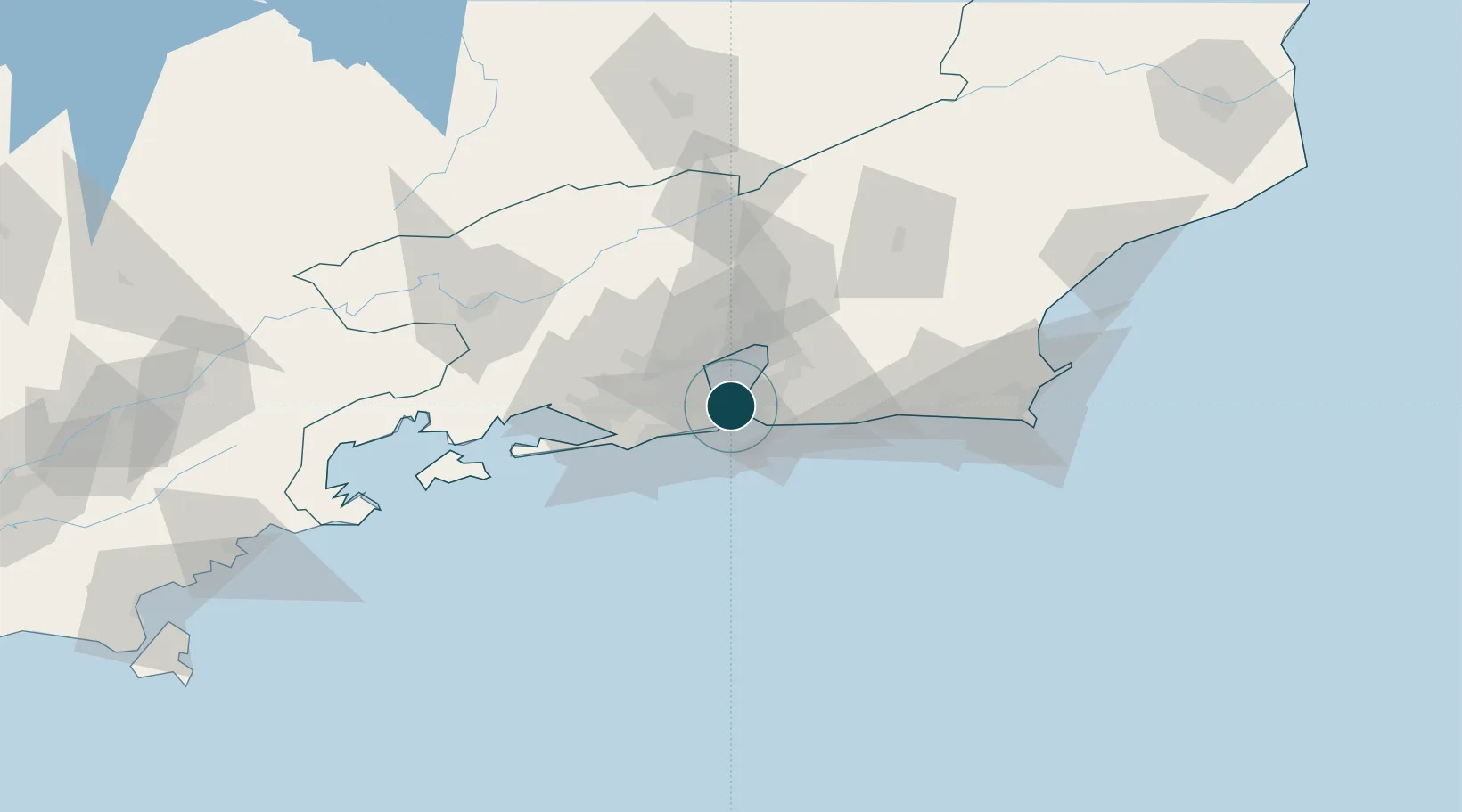
-22.9000°, -43.1667°
15.5 m
Channel depth
2
Container terminals
235.9
Port liner connectivity
Channel & Berth Profile
Pilotage, Tugs & Services
Pilotage compulsoryYES
Pilotage availableYES
Pilotage advisableYES
Tug assistanceYES
Salvage tugsYES
Shore powerYES
Potable waterYES
Diesel bunkersYES
MedicalYES
Garbage disposalYES
Facilities & Capabilities
Container—
Ro-Ro—
Liquid bulk—
Dry bulk—
Oil terminal—
Break bulk—
Dry dockNO
RepairsNO
BunkeringYES
Rail linkYES
Dangerous cargo—
ISPS security—
Harbour Specifications
Harbour size
Large
Harbour type
Coastal (Natural)
Shelter
Excellent
Water body
South Atlantic Ocean
Tidal range
1 m
Overhead limit
Yes
Pilotage
Yes
Liner Connectivity
235.9
PLSCI
Port Liner Shipping Connectivity Index for Rio De Janeiro, as published by UNCTAD for the latest available quarter. Higher values indicate stronger scheduled liner-shipping integration.
Shown relative to the highest per-port PLSCI in the dataset (1,657.9).
Location
Container Terminals · 2
ICTSI RIO BRASIL TERMINAL 1
LIBRJ ICTSI RIO BRASIL TERMINAL
MULTI RIO OPERACOES PORTUARIA SA
MROP
Nearby Logistics Neighbours
Ports
- 1Niteroi5 km
- 2Porto Do Forno118 km
- 3Angra Dos Reis119 km
- 4Macae155 km
- 5Sao Sebastiao249 km
Cities
- 1Niterói10 km
- 2São Gonçalo18 km
- 3Duque de Caxias19 km
- 4Mesquita30 km
- 5Maricá36 km
Airports
Trade Zones
- 1ZPE de Itaguaí (RJ)63 km
- 2ZPE do Açú (RJ)249 km
- 3ZPE de Aracruz (ES)477 km
- 4ZPE de Teófilo Otoni (MG)587 km
- 5ZPE de Uberaba (MG)613 km
DatabookThe Record of Consolidated Knowledge
Brazil beyond logistics?