Seaport · Brazil
SantosBRSSZ
-23.9500°, -46.3000°
12.5 m
Channel depth
5
Container terminals
364.2
Port liner connectivity
Channel & Berth Profile
Pilotage, Tugs & Services
Pilotage compulsoryYES
Pilotage availableYES
Pilotage advisableYES
Tug assistanceYES
Salvage tugsYES
Shore powerYES
Potable waterYES
Diesel bunkersYES
MedicalYES
Garbage disposalYES
Facilities & Capabilities
Container—
Ro-Ro—
Liquid bulk—
Dry bulk—
Oil terminal—
Break bulk—
Dry dockNO
RepairsNO
BunkeringYES
Rail linkYES
Dangerous cargo—
ISPS security—
Harbour Specifications
Harbour size
Large
Harbour type
Coastal (Natural)
Shelter
Good
Water body
South Atlantic Ocean
Tidal range
1 m
Overhead limit
Yes
Pilotage
Yes
Liner Connectivity
364.2
PLSCI
Port Liner Shipping Connectivity Index for Santos, as published by UNCTAD for the latest available quarter. Higher values indicate stronger scheduled liner-shipping integration.
Shown relative to the highest per-port PLSCI in the dataset (1,657.9).
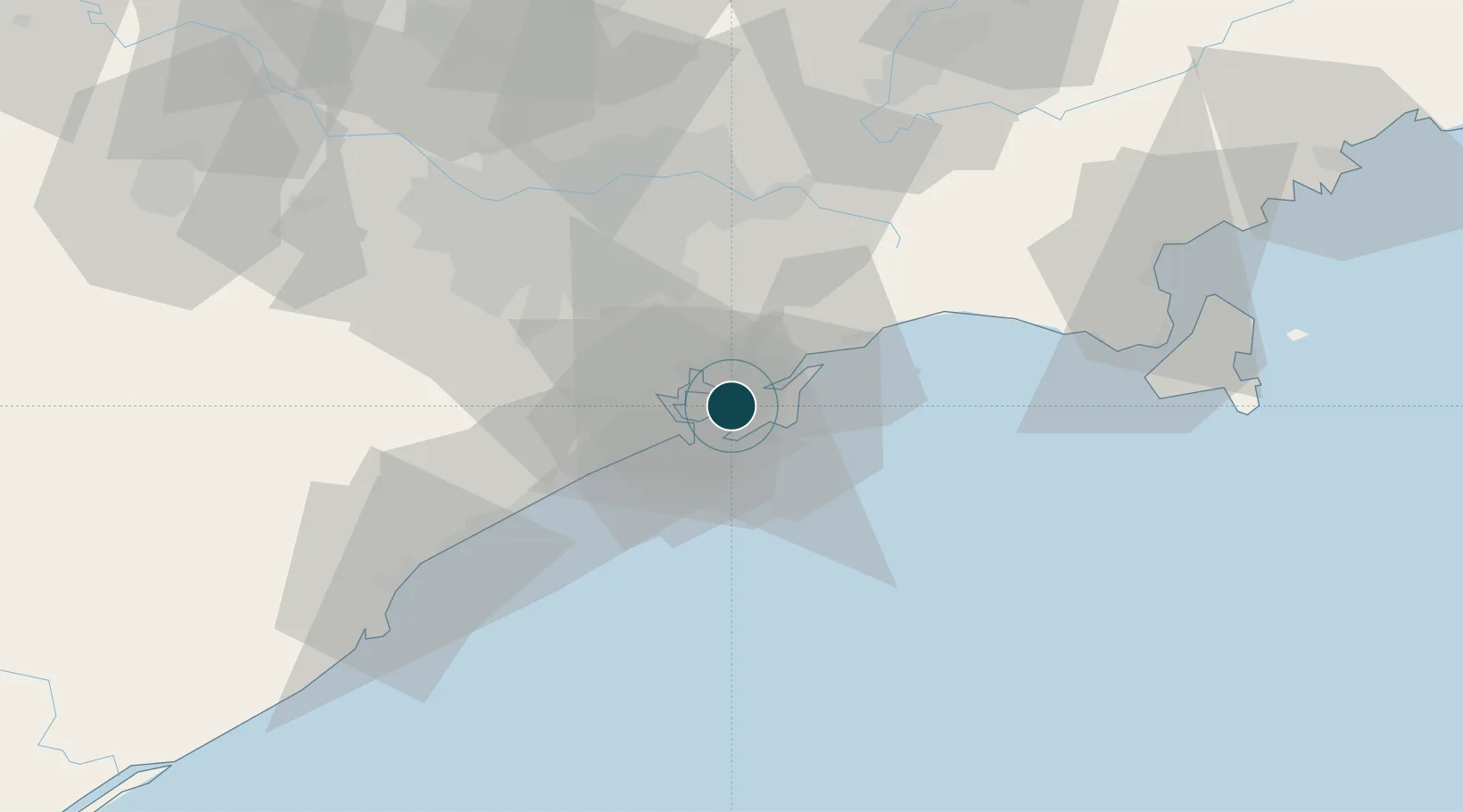
Location
Container Terminals · 5
BRASIL TERMINAL PORTUARIO (BTP)
BTP BRASIL TERMINAL PORTUARIO S.A. (APM TERMINALS / TIL)
ECOPORTO SANTOS
ECOS
DP WORLD SANTOS
EMBRA DP WORLD BRAZIL
RODRIMAR SA TRANSP EQUIP INDUSTRIAL
RODRI
SANTOS BRASIL SA
SSA
Nearby Logistics Neighbours
Ports
- 1Sao Sebastiao93 km
- 2Angra Dos Reis227 km
- 3Paranagua283 km
- 4Rio De Janeiro340 km
- 5Niteroi346 km
Cities
- 1Gurupi3 km
- 2Guarujá3 km
- 3São Paulo3 km
- 4São Vicente12 km
- 5Cubatão14 km
Airports
Trade Zones
- 1ZPE de Itaguaí (RJ)282 km
- 2ZPE de Imbituba (SC)466 km
- 3ZPE de Uberaba (MG)504 km
- 4ZPE de Fernandópolis (SP)576 km
- 5ZPE do Açú (RJ)588 km
DatabookThe Record of Consolidated Knowledge
Brazil beyond logistics?