Transport Functions
Port
Road
Hub Profile
Place type
Provincial seat
Region
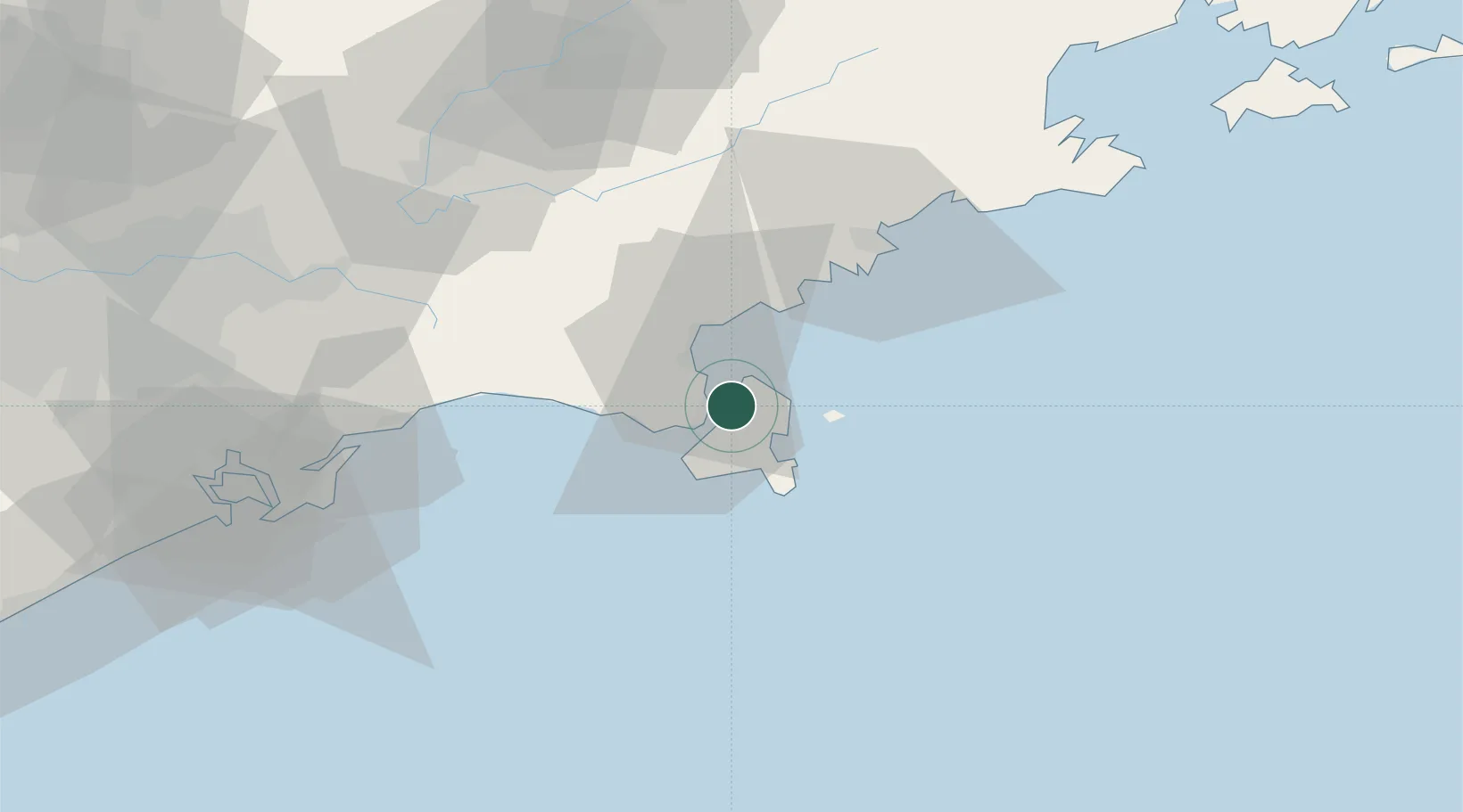
São Paulo
Population
35,591
Time zone
America/Sao_Paulo
Elevation
7 m
Location
Nearby Logistics Neighbours
Cities
- 1São Sebastião5 km
- 2Ubatuba49 km
- 3Jacareí83 km
- 4Caçapava84 km
- 5São José dos Campos86 km
Ports
- 1Sao Sebastiao5 km
- 2Santos98 km
- 3Angra Dos Reis136 km
- 4Rio De Janeiro244 km
- 5Niteroi249 km
Airports
Trade Zones
- 1ZPE de Itaguaí (RJ)188 km
- 2ZPE do Açú (RJ)492 km
- 3ZPE de Uberaba (MG)530 km
- 4ZPE de Imbituba (SC)533 km
- 5ZPE de Fernandópolis (SP)638 km
DatabookThe Record of Consolidated Knowledge
Brazil beyond logistics?