Transport Functions
Port
Road
Airport
Hub Profile
Place type
Provincial seat
Region
São Paulo
Population
91,824
Time zone
America/Sao_Paulo
Elevation
6 m
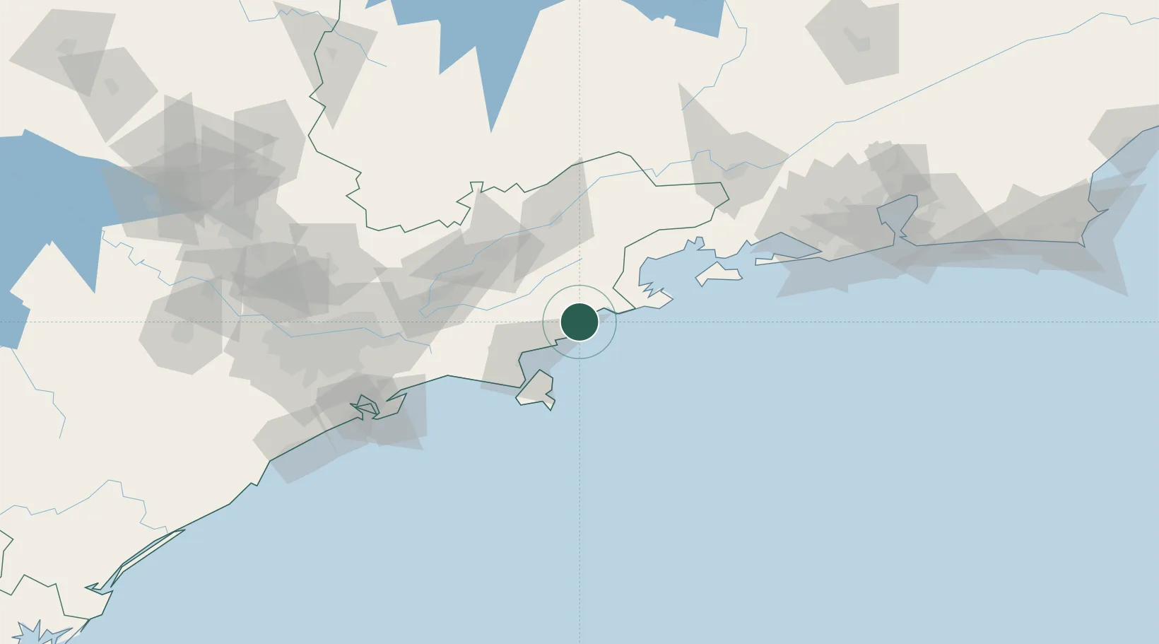
Location
Nearby Logistics Neighbours
Cities
- 1Ilhabela49 km
- 2São Sebastião53 km
- 3Roseira66 km
- 4Taubaté68 km
- 5Pindamonhangaba70 km
Ports
- 1Sao Sebastiao53 km
- 2Angra Dos Reis90 km
- 3Santos138 km
- 4Rio De Janeiro203 km
- 5Niteroi209 km
Airports
- 1Paraty Airport42 km
- 2Base de Aviação de Taubaté63 km
- 3Edu Chaves Field73 km
- 4Professor Urbano Ernesto Stumpf Airport84 km
- 5N. S. A. Heliport91 km
Trade Zones
- 1ZPE de Itaguaí (RJ)144 km
- 2ZPE do Açú (RJ)450 km
- 3ZPE de Uberaba (MG)513 km
- 4ZPE de Imbituba (SC)582 km
- 5ZPE de Fernandópolis (SP)640 km
DatabookThe Record of Consolidated Knowledge
Brazil beyond logistics?