Transport Functions
Rail
Road
Multimodal
Hub Profile
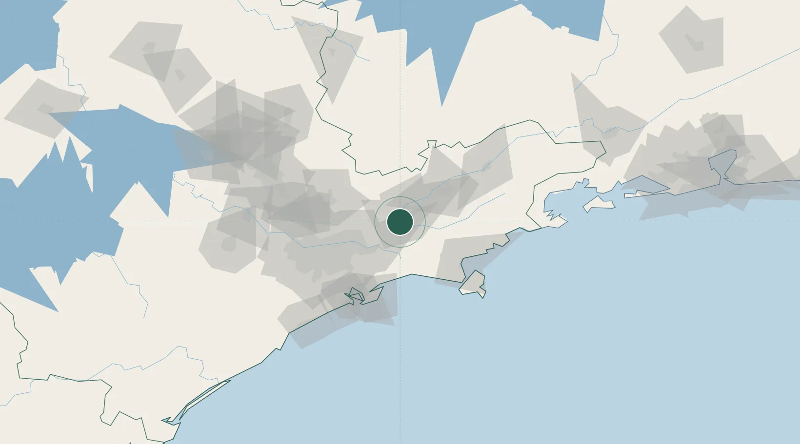
Place type
Populated place
Region
São Paulo
Population
213,110
Time zone
America/Sao_Paulo
Elevation
574 m
Location
Nearby Logistics Neighbours
Cities
- 1São José dos Campos16 km
- 2Mogi das Cruzes33 km
- 3Caçapava35 km
- 4Itaquaquecetuba43 km
- 5Suzano43 km
Ports
- 1Santos80 km
- 2Sao Sebastiao80 km
- 3Angra Dos Reis172 km
- 4Rio De Janeiro290 km
- 5Niteroi295 km
Airports
Trade Zones
- 1ZPE de Itaguaí (RJ)228 km
- 2ZPE de Uberaba (MG)452 km
- 3ZPE do Açú (RJ)531 km
- 4ZPE de Imbituba (SC)545 km
- 5ZPE de Fernandópolis (SP)556 km
DatabookThe Record of Consolidated Knowledge
Brazil beyond logistics?