Medium airport · Brazil

Professor Urbano Ernesto Stumpf AirportSBSJ
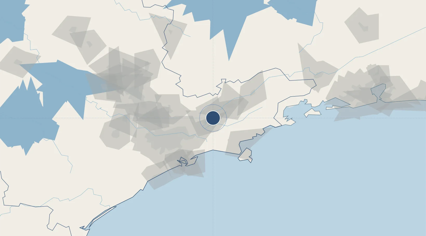
-23.2292°, -45.8615°
8,780 ft
Longest runway
1
Runways
2,120 ft
Elevation

Runway & Layout

Professor Urbano Ernesto Stumpf Airport runway & taxiway layout
Runway & taxiway layout — OpenStreetMap (ODbL) / OurAirports

Radio Frequencies

TWR
118.5 MHz
GND
121.9 MHz
APP
119.25 MHz
OPS
122.5 MHz
OurAirports

Navaids

SCP VOR-DME Sao Jose 112.80 MHz
OurAirports

Runways · 1

RunwayDimensions SurfaceTrue headingLit
16/34 8,780 × 148ft Asphalt 135°
OurAirports

Airport Specifications

IATA code
SJK
OurAirports
ICAO code
SBSJ
OurAirports
Airport class
Medium airport
OurAirports
Scheduled service
Yes
OurAirports
Runway surface
Asphalt
OurAirports
Served city
São José Dos Campos
OurAirports

Location

Location of SBSJ
Natural Earth 10m (public domain) · São Paulo · SBSJ · -23.23, -45.86GoogleOSMYandex

Nearby Logistics Neighbours

Airports
  1. 1Base de Aviação de Taubaté41 km
  2. 2N. S. A. Heliport64 km
  3. 3São Paulo/Guarulhos–Governor André Franco Montoro International Airport66 km
  4. 4Edu Chaves Field83 km
  5. 5Campo de Marte Airport85 km
Nearest neighbours — logibook spatial index (haversine) over the source coordinates
Cities
  1. 1São José dos Campos6 km
  2. 2Jacareí13 km
  3. 3Caçapava22 km
  4. 4Taubaté40 km
  5. 5Mogi das Cruzes46 km
Nearest neighbours — logibook spatial index (haversine) over the source coordinates
Ports
  1. 1Sao Sebastiao79 km
  2. 2Santos92 km
  3. 3Angra Dos Reis160 km
  4. 4Rio De Janeiro278 km
  5. 5Niteroi283 km
Nearest neighbours — logibook spatial index (haversine) over the source coordinates
Trade Zones
  1. 1ZPE de Itaguaí (RJ)216 km
  2. 2ZPE de Uberaba (MG)450 km
  3. 3ZPE do Açú (RJ)519 km
  4. 4ZPE de Imbituba (SC)557 km
  5. 5ZPE de Fernandópolis (SP)560 km
Nearest neighbours — logibook spatial index (haversine) over the source coordinates
DatabookThe Record of Consolidated Knowledge
Brazil beyond logistics?
Browse databook

All Sources

AirportsOurAirports
Public domain
Portsthe NGA World Port Index
Public domain (US gov)
LocationsUN/LOCODE
UN/LOCODE — free
Trade Zonesthe World Bank SEZ database
CC BY 4.0
Trade ZonesOpen Zone Map
CC BY
InfrastructureOpenStreetMap
ODbL 1.0
← Brazil airports