Small airport · Brazil
Paraty AirportSDTK
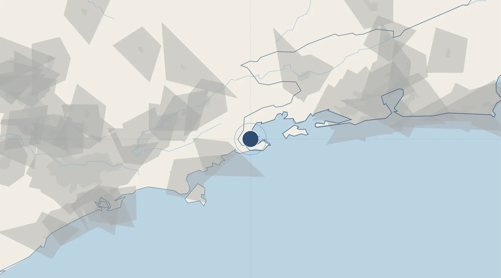
-23.2240°, -44.7234°
2,297 ft
Longest runway
1
Runways
10 ft
Elevation
Runway & Layout

Runways · 1
| Runway | Dimensions | Surface | True heading | Lit |
|---|---|---|---|---|
| 10/28 | 2,297 × 75ft | Asphalt | — | — |
Airport Specifications
IATA code
JPY
ICAO code
SDTK
Airport class
Small airport
Scheduled service
Yes
Runway surface
Asphalt
Served city
Paraty
Location
Nearby Logistics Neighbours
Airports
- 1Edu Chaves Field69 km
- 2Base de Aviação de Taubaté84 km
- 3N. S. A. Heliport100 km
- 4Santa Cruz Air Force Base108 km
- 5Professor Urbano Ernesto Stumpf Airport116 km
Cities
- 1Ubatuba42 km
- 2Angra dos Reis49 km
- 3Guaratinguetá65 km
- 4Roseira70 km
- 5Cruzeiro77 km
Ports
- 1Angra Dos Reis48 km
- 2Sao Sebastiao94 km
- 3Rio De Janeiro163 km
- 4Niteroi169 km
- 5Santos180 km
Trade Zones
- 1ZPE de Itaguaí (RJ)103 km
- 2ZPE do Açú (RJ)408 km
- 3ZPE de Uberaba (MG)517 km
- 4ZPE de Aracruz (ES)619 km
- 5ZPE de Imbituba (SC)621 km
DatabookThe Record of Consolidated Knowledge
Brazil beyond logistics?