Channel & Berth Profile
Pilotage, Tugs & Services
Pilotage compulsoryYES
Pilotage availableYES
Pilotage advisableYES
Tug assistanceYES
Salvage tugsNO
Shore powerYES
Potable waterYES
MedicalYES
Garbage disposalYES
Facilities & Capabilities
Container—
Ro-Ro—
Liquid bulk—
Dry bulk—
Oil terminal—
Break bulk—
Dry dockNO
RepairsNO
BunkeringYES
Rail linkYES
Dangerous cargo—
ISPS security—
Harbour Specifications
Harbour size
Small
Harbour type
Coastal (Natural)
Shelter
Excellent
Water body
South Atlantic Ocean
Tidal range
1 m
Overhead limit
Yes
Pilotage
Yes
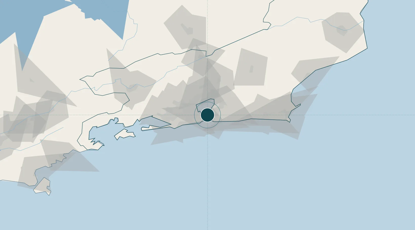
Location
Nearby Logistics Neighbours
Ports
- 1Rio De Janeiro5 km
- 2Porto Do Forno113 km
- 3Angra Dos Reis124 km
- 4Macae150 km
- 5Sao Sebastiao254 km
Cities
- 1São Gonçalo13 km
- 2Rio de Janeiro17 km
- 3Duque de Caxias22 km
- 4Maricá31 km
- 5Mesquita33 km
Airports
Trade Zones
- 1ZPE de Itaguaí (RJ)68 km
- 2ZPE do Açú (RJ)243 km
- 3ZPE de Aracruz (ES)472 km
- 4ZPE de Teófilo Otoni (MG)583 km
- 5ZPE de Uberaba (MG)616 km
DatabookThe Record of Consolidated Knowledge
Brazil beyond logistics?