Medium airport · Brazil

Edu Chaves FieldSBGW
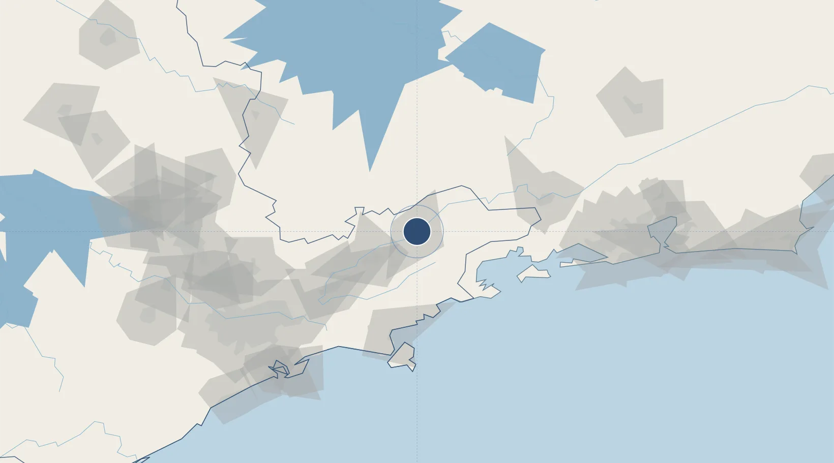
-22.7916°, -45.2048°
5,089 ft
Longest runway
1
Runways
1,761 ft
Elevation

Runway & Layout

Edu Chaves Field runway & taxiway layout
Runway & taxiway layout — OpenStreetMap (ODbL) / OurAirports

Radio Frequencies

TWR
118.15 MHz
GUARA TOWER
APP
120.15 MHz
GUARA CONTROL
OurAirports

Navaids

GGT NDB Guaratingueta 275 kHz
OurAirports

Runways · 1

RunwayDimensions SurfaceTrue headingLit
2/20 5,089 × 98ft Asphalt
OurAirports

Airport Specifications

IATA code
GUJ
OurAirports
ICAO code
SBGW
OurAirports
Airport class
Medium airport
OurAirports
Scheduled service
No
OurAirports
Runway surface
Asphalt
OurAirports
Served city
Guaratinguetá
OurAirports

Location

Location of SBGW
Natural Earth 10m (public domain) · São Paulo · SBGW · -22.79, -45.20GoogleOSMYandex

Nearby Logistics Neighbours

Airports
  1. 1N. S. A. Heliport35 km
  2. 2Base de Aviação de Taubaté42 km
  3. 3Paraty Airport69 km
  4. 4Professor Urbano Ernesto Stumpf Airport83 km
  5. 5Major Brigadeiro Trompowsky Airport136 km
Nearest neighbours — logibook spatial index (haversine) over the source coordinates
Cities
  1. 1Guaratinguetá4 km
  2. 2Roseira14 km
  3. 3Pindamonhangaba29 km
  4. 4Cruzeiro36 km
  5. 5Taubaté43 km
Nearest neighbours — logibook spatial index (haversine) over the source coordinates
Ports
  1. 1Angra Dos Reis94 km
  2. 2Sao Sebastiao114 km
  3. 3Santos171 km
  4. 4Rio De Janeiro209 km
  5. 5Niteroi214 km
Nearest neighbours — logibook spatial index (haversine) over the source coordinates
Trade Zones
  1. 1ZPE de Itaguaí (RJ)147 km
  2. 2ZPE do Açú (RJ)441 km
  3. 3ZPE de Uberaba (MG)449 km
  4. 4ZPE de Fernandópolis (SP)593 km
  5. 5ZPE de Aracruz (ES)633 km
Nearest neighbours — logibook spatial index (haversine) over the source coordinates
DatabookThe Record of Consolidated Knowledge
Brazil beyond logistics?
Browse databook

All Sources

AirportsOurAirports
Public domain
Portsthe NGA World Port Index
Public domain (US gov)
LocationsUN/LOCODE
UN/LOCODE — free
Trade Zonesthe World Bank SEZ database
CC BY 4.0
Trade ZonesOpen Zone Map
CC BY
InfrastructureOpenStreetMap
ODbL 1.0
← Brazil airports