Medium airport · Brazil
Santos Nero Moura Air Base / Guarujá AirportSBST
-23.9282°, -46.3002°
4,560 ft
Longest runway
1
Runways
13 ft
Elevation
Runway & Layout

Radio Frequencies
TWR
118.65 MHz
RADIO SANTOS
TWR
132.225 MHz
AFIS SANTOS
APP
119.25 MHz
SAO PAULO APP
APP
120.25 MHz
SAO PAULO APP
APP
121.4 MHz
SAO PAULO APP
APP
121.5 MHz
SAO PAULO APP
APP
129.5 MHz
SAO PAULO APP
APP
132.1 MHz
SAO PAULO APP
APP
135.75 MHz
SAO PAULO APP
Navaids
RR NDB Vicente 360 kHz
SAT NDB Santos 375 kHz
Runways · 1
| Runway | Dimensions | Surface | True heading | Lit |
|---|---|---|---|---|
| 17/35 | 4,560 × 148ft | Asphalt | — | — |
Airport Specifications
IATA code
SSZ
ICAO code
SBST
Airport class
Medium airport
Scheduled service
No
Runway surface
Asphalt
Served city
Guarujá
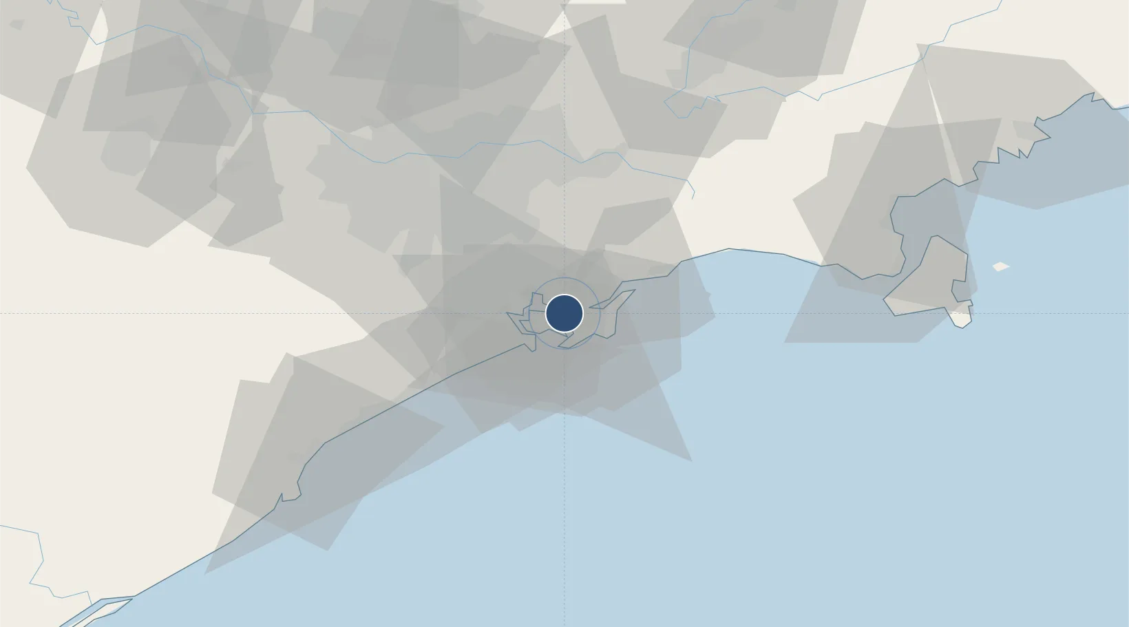
Location
Nearby Logistics Neighbours
Airports
Ports
- 1Santos2 km
- 2Sao Sebastiao93 km
- 3Angra Dos Reis226 km
- 4Paranagua284 km
- 5Rio De Janeiro340 km
Trade Zones
- 1ZPE de Itaguaí (RJ)281 km
- 2ZPE de Imbituba (SC)468 km
- 3ZPE de Uberaba (MG)502 km
- 4ZPE de Fernandópolis (SP)575 km
- 5ZPE do Açú (RJ)587 km
DatabookThe Record of Consolidated Knowledge
Brazil beyond logistics?