UN/LOCODE hub · Brazil
BRSJK
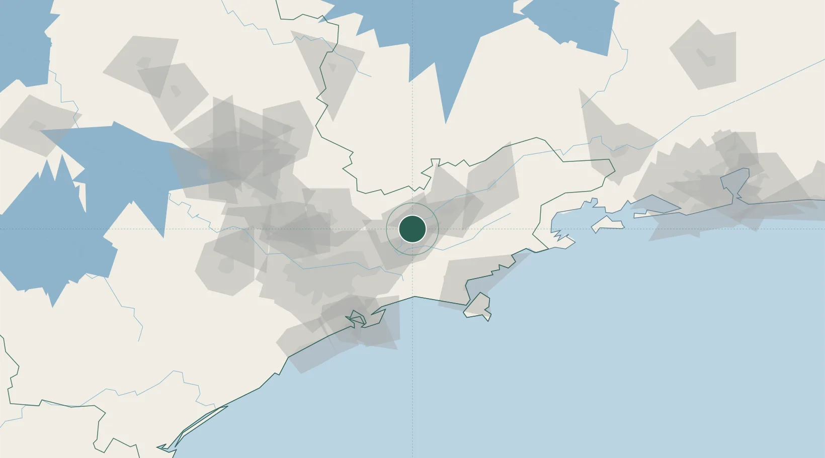
São José dos Campos
-23.1833°, -45.8833°
729,737
Population
3
Transport functions
Transport Functions
Rail
Road
Airport
Hub Profile
Place type
Provincial seat
Region
São Paulo
Population
729,737
Time zone
America/Sao_Paulo
Elevation
600 m
Location
Nearby Logistics Neighbours
Cities
- 1Jacareí16 km
- 2Caçapava21 km
- 3Taubaté39 km
- 4Mogi das Cruzes48 km
- 5Pindamonhangaba53 km
Ports
- 1Sao Sebastiao84 km
- 2Santos95 km
- 3Angra Dos Reis161 km
- 4Rio De Janeiro280 km
- 5Niteroi285 km
Airports
Trade Zones
- 1ZPE de Itaguaí (RJ)218 km
- 2ZPE de Uberaba (MG)445 km
- 3ZPE do Açú (RJ)519 km
- 4ZPE de Fernandópolis (SP)555 km
- 5ZPE de Imbituba (SC)561 km
DatabookThe Record of Consolidated Knowledge
Brazil beyond logistics?