Medium airport · Brazil

Base de Aviação de TaubatéSBTA
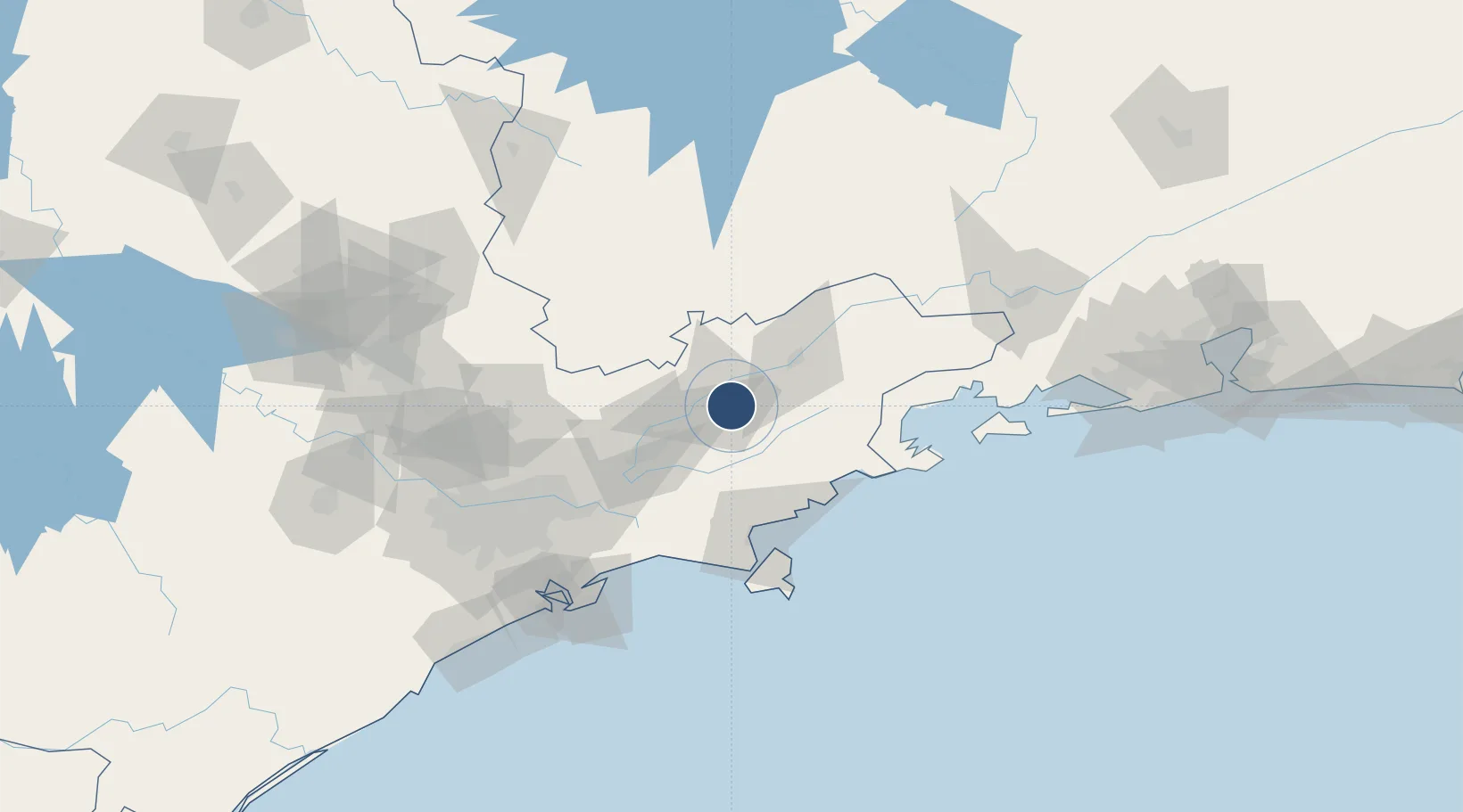
-23.0401°, -45.5162°
6,170 ft
Longest runway
1
Runways
1,902 ft
Elevation

Runway & Layout

Base de Aviação de Taubaté runway & taxiway layout
Runway & taxiway layout — OpenStreetMap (ODbL) / OurAirports

Radio Frequencies

TWR
119.9 MHz
GND
121.7 MHz
OurAirports

Navaids

TBE NDB Taubate 430 kHz
OurAirports

Runways · 1

RunwayDimensions SurfaceTrue headingLit
08/26 6,170 × 98ft Asphalt 077°
OurAirports

Airport Specifications

ICAO code
SBTA
OurAirports
Airport class
Medium airport
OurAirports
Scheduled service
No
OurAirports
Runway surface
Asphalt
OurAirports
Served city
Taubaté
OurAirports

Location

Location of SBTA
Natural Earth 10m (public domain) · São Paulo · SBTA · -23.04, -45.52GoogleOSMYandex

Nearby Logistics Neighbours

Airports
  1. 1N. S. A. Heliport34 km
  2. 2Professor Urbano Ernesto Stumpf Airport41 km
  3. 3Edu Chaves Field42 km
  4. 4Paraty Airport84 km
  5. 5São Paulo/Guarulhos–Governor André Franco Montoro International Airport107 km
Nearest neighbours — logibook spatial index (haversine) over the source coordinates
Cities
  1. 1Taubaté4 km
  2. 2Pindamonhangaba15 km
  3. 3Caçapava20 km
  4. 4Roseira28 km
  5. 5São José dos Campos41 km
Nearest neighbours — logibook spatial index (haversine) over the source coordinates
Ports
  1. 1Sao Sebastiao85 km
  2. 2Angra Dos Reis123 km
  3. 3Santos129 km
  4. 4Rio De Janeiro241 km
  5. 5Niteroi246 km
Nearest neighbours — logibook spatial index (haversine) over the source coordinates
Trade Zones
  1. 1ZPE de Itaguaí (RJ)179 km
  2. 2ZPE de Uberaba (MG)451 km
  3. 3ZPE do Açú (RJ)479 km
  4. 4ZPE de Fernandópolis (SP)578 km
  5. 5ZPE de Imbituba (SC)593 km
Nearest neighbours — logibook spatial index (haversine) over the source coordinates
DatabookThe Record of Consolidated Knowledge
Brazil beyond logistics?
Browse databook

All Sources

AirportsOurAirports
Public domain
Portsthe NGA World Port Index
Public domain (US gov)
LocationsUN/LOCODE
UN/LOCODE — free
Trade Zonesthe World Bank SEZ database
CC BY 4.0
Trade ZonesOpen Zone Map
CC BY
InfrastructureOpenStreetMap
ODbL 1.0
← Brazil airports