Transport Functions
Rail
Road
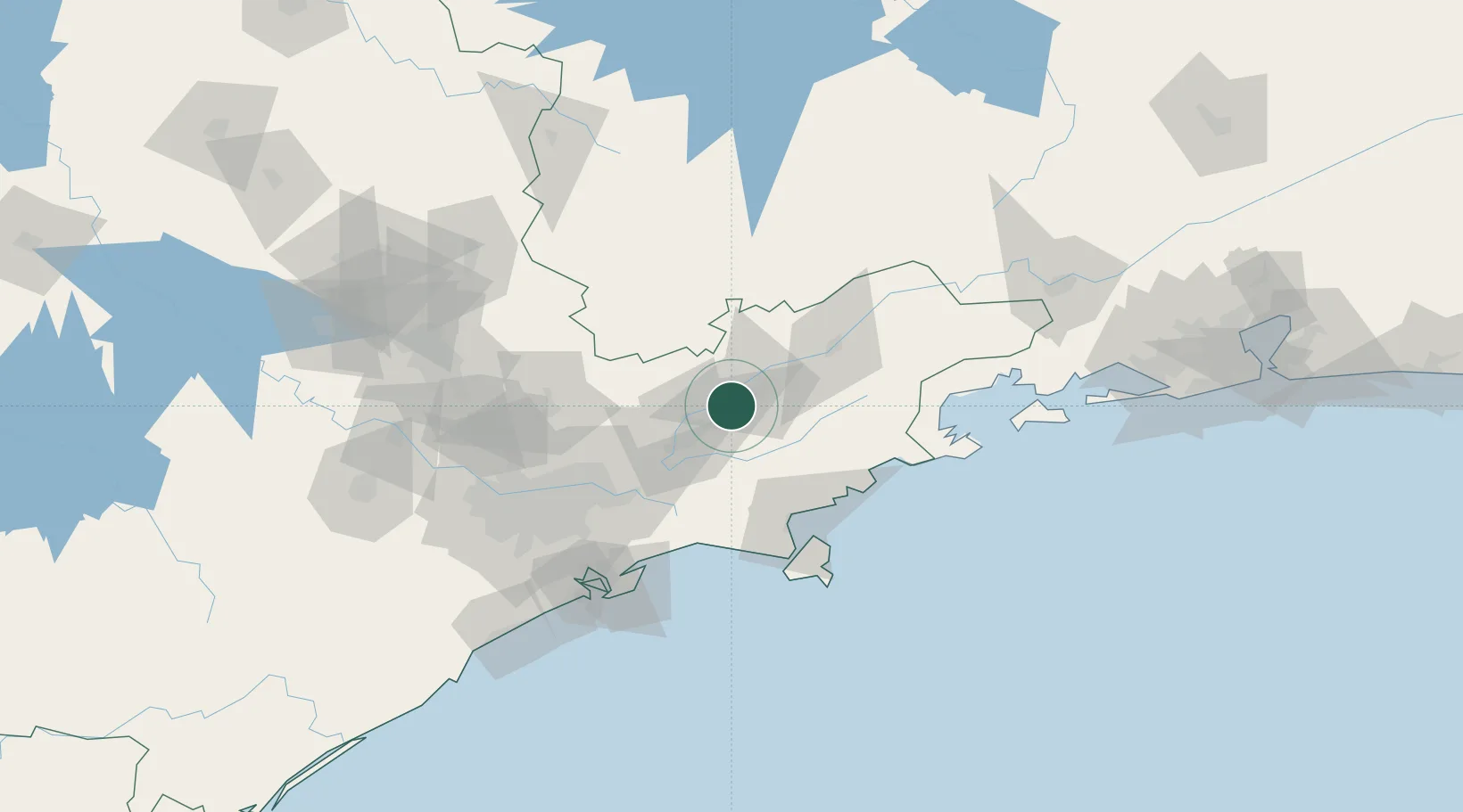
Hub Profile
Place type
Populated place
Region
São Paulo
Population
96,202
Time zone
America/Sao_Paulo
Elevation
564 m
Location
Nearby Logistics Neighbours
Cities
- 1Taubaté18 km
- 2São José dos Campos21 km
- 3Pindamonhangaba33 km
- 4Jacareí35 km
- 5Roseira48 km
Ports
- 1Sao Sebastiao84 km
- 2Santos113 km
- 3Angra Dos Reis142 km
- 4Rio De Janeiro260 km
- 5Niteroi266 km
Airports
Trade Zones
- 1ZPE de Itaguaí (RJ)198 km
- 2ZPE de Uberaba (MG)446 km
- 3ZPE do Açú (RJ)499 km
- 4ZPE de Fernandópolis (SP)566 km
- 5ZPE de Imbituba (SC)578 km
DatabookThe Record of Consolidated Knowledge
Brazil beyond logistics?