Export Processing Zone · Brazil
ZPE de Uberaba (MG) Under Development
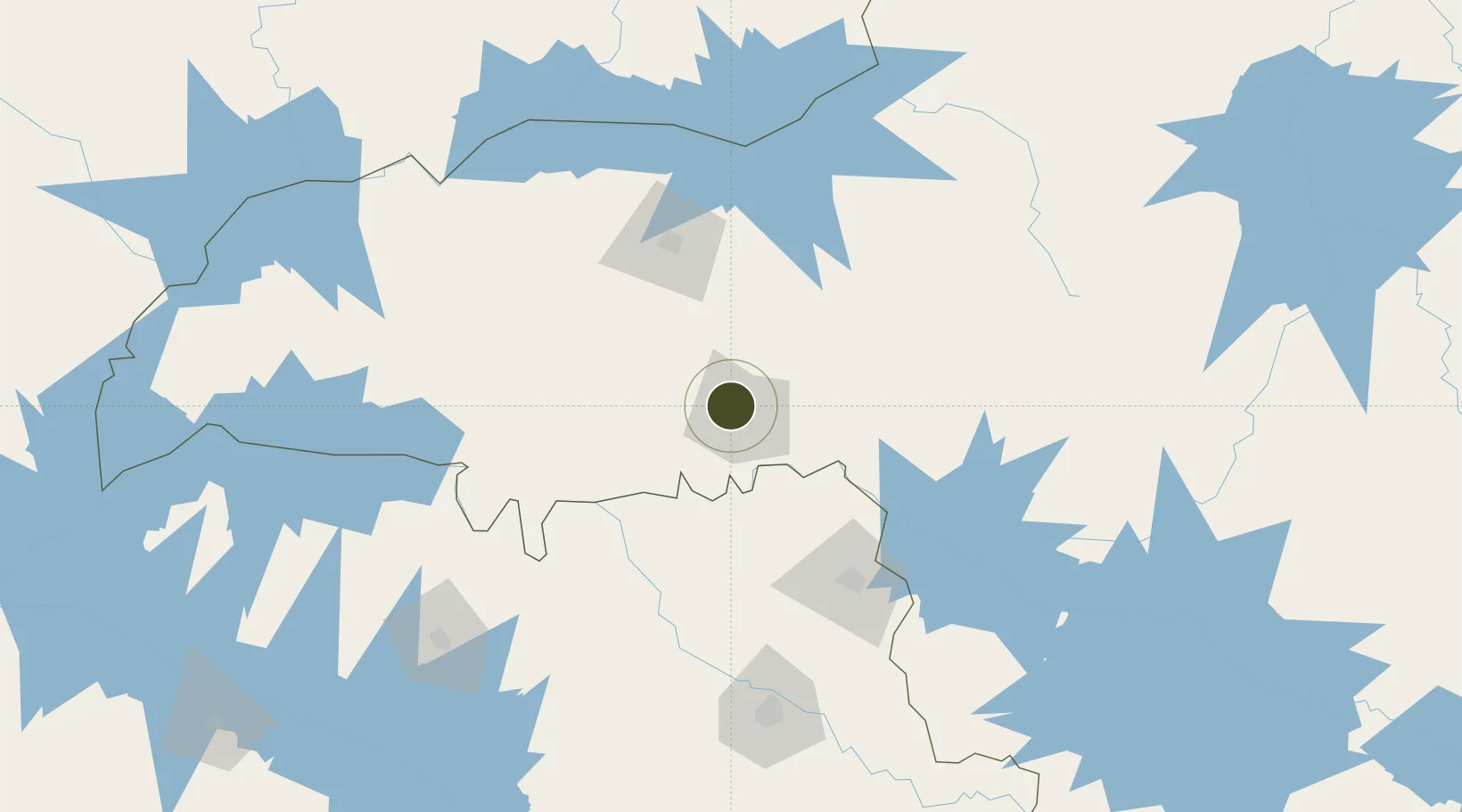
-19.6964°, -47.9830°
268 ha
Zone area
503.9 km
Nearest port
7.9 km
Nearest airport
Gateway access
Zone profile
Zone type
Export Processing Zone
Region
Minas Gerais
Status
Under Development
Management
Public-Private Partnership
Operator
Cassu Participações
Legal framework
Decreto de 15 de Junho de 2012; Law 11.508 / 2007, with the changes introduced by Laws 11.732 / 2008 and 12.767 / 2012
Location
Nearby Logistics Neighbours
Ports
- 1Santos504 km
- 2Sao Sebastiao529 km
- 3Angra Dos Reis530 km
- 4Rio De Janeiro613 km
- 5Niteroi616 km
Airports
Cities
- 1Uberaba0 km
- 2Ituverava74 km
- 3Guará82 km
- 4Uberlândia96 km
- 5São Joaquim da Barra98 km
Trade Zones
- 1ZPE de Fernandópolis (SP)249 km
- 2ZPE de Bataguassú (MS)511 km
- 3ZPE de Itaguaí (RJ)563 km
- 4ZPE de Teófilo Otoni (MG)714 km
- 5ZPE do Açú (RJ)760 km
DatabookThe Record of Consolidated Knowledge
Brazil beyond logistics?