UN/LOCODE hub · Brazil
BRPMA

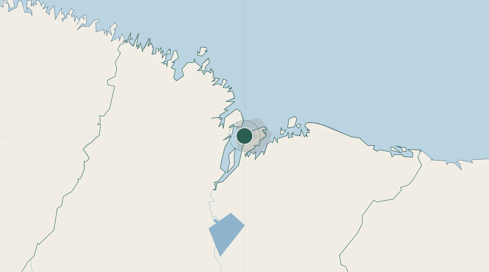
Ponta da Madeira Pt / São Luís

-2.5333°, -44.3500°
2
Transport functions

Transport Functions

Port
Rail
UN/LOCODE

Hub Profile

Region
MA
GeoNames

Location

Location of BRPMA
Natural Earth 10m (public domain) · MA · BRPMA · -2.53, -44.35GoogleOSMYandex

Nearby Logistics Neighbours

Cities
  1. 1Itaqui Pt / São Luís4 km
  2. 2São Luís8 km
  3. 3Alcântara17 km
  4. 4Bacabeira50 km
  5. 5Cachoeira do Piriá258 km
Nearest neighbours — logibook spatial index (haversine) over the source coordinates
Ports
  1. 1Itaqui4 km
  2. 2Tutoia231 km
  3. 3Camocim393 km
  4. 4Belem477 km
  5. 5Vila Do Conde501 km
Nearest neighbours — logibook spatial index (haversine) over the source coordinates
Trade Zones
  1. 1ZPE de São Luís4 km
  2. 2ZPE de Parnaíba (PI)291 km
  3. 3ZPE de Barcarena (PA)489 km
  4. 4ZPE de Pecém (CE) ( Port of Pecém)622 km
  5. 5ZPE de Araguaína (TO)671 km
Nearest neighbours — logibook spatial index (haversine) over the source coordinates
DatabookThe Record of Consolidated Knowledge
Brazil beyond logistics?
Browse databook

All Sources

LocationsUN/LOCODE
UN/LOCODE — free
Portsthe NGA World Port Index
Public domain (US gov)
AirportsOurAirports
Public domain
Trade Zonesthe World Bank SEZ database
CC BY 4.0
Trade ZonesOpen Zone Map
CC BY
← Brazil locations