Transport Functions
Port
Road
Hub Profile
Place type
Populated place
Region
Maranhão
Population
18,467
Time zone
America/Fortaleza
Elevation
32 m
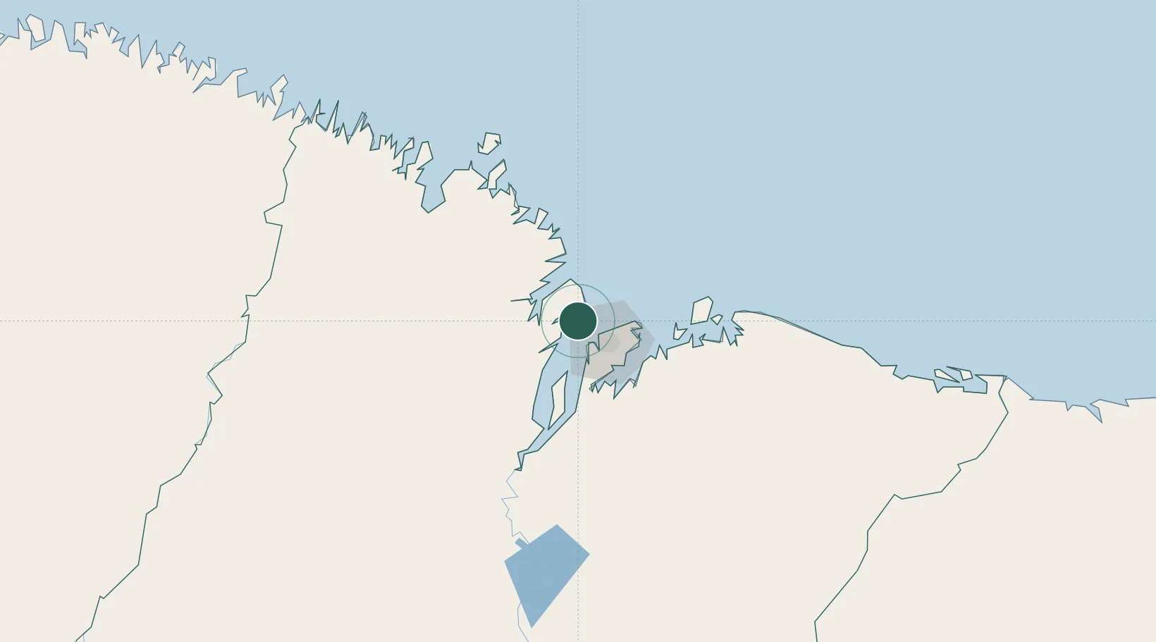
Location
Nearby Logistics Neighbours
Cities
- 1Ponta da Madeira Pt / São Luís17 km
- 2São Luís20 km
- 3Itaqui Pt / São Luís20 km
- 4Bacabeira66 km
- 5Cachoeira do Piriá246 km
Ports
- 1Itaqui19 km
- 2Tutoia241 km
- 3Camocim402 km
- 4Belem466 km
- 5Vila Do Conde491 km
Airports
Trade Zones
- 1ZPE de São Luís20 km
- 2ZPE de Parnaíba (PI)301 km
- 3ZPE de Barcarena (PA)478 km
- 4ZPE de Pecém (CE) ( Port of Pecém)632 km
- 5ZPE de Araguaína (TO)678 km
DatabookThe Record of Consolidated Knowledge
Brazil beyond logistics?