UN/LOCODE hub · Brazil
BRCPR
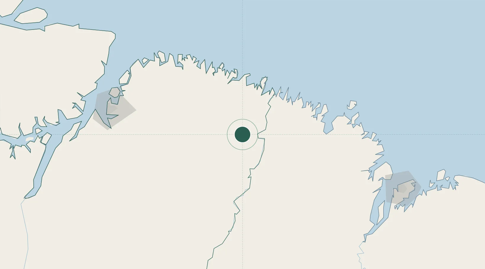
Cachoeira do Piriá
-1.7500°, -46.5333°
19,630
Population
2
Transport functions
Transport Functions
Port
Road
Hub Profile
Place type
Populated place
Region
Pará
Population
19,630
Time zone
America/Belem
Elevation
77 m
Location
Nearby Logistics Neighbours
Cities
- 1São Miguel do Guamá105 km
- 2Acará187 km
- 3Benevides194 km
- 4Ananindeua208 km
- 5Belém220 km
Ports
- 1Belem221 km
- 2Vila Do Conde247 km
- 3Itaqui257 km
- 4Cameta334 km
- 5Tutoia486 km
Airports
Trade Zones
- 1ZPE de Barcarena (PA)234 km
- 2ZPE de São Luís261 km
- 3ZPE de Parnaíba (PI)546 km
- 4ZPE de Araguaína (TO)632 km
- 5ZPE de Pecém (CE) ( Port of Pecém)878 km
DatabookThe Record of Consolidated Knowledge
Brazil beyond logistics?