UN/LOCODE hub · Brazil
BRIQI

Itaqui Pt / São Luís

-2.5689°, -44.3513°
2
Transport functions

Transport Functions

Port
Rail
Itaqui Pt / São Luís is also a profiled seaport →
UN/LOCODE

Hub Profile

Region
MA
GeoNames
Logistics facilities
2
UN/LOCODE

Location

Location of BRIQI
Natural Earth 10m (public domain) · MA · BRIQI · -2.57, -44.35GoogleOSMYandex

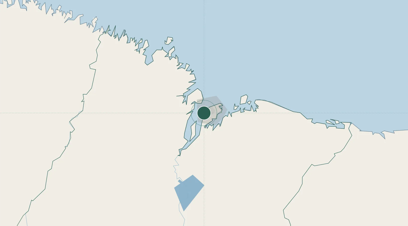
Nearby Logistics Neighbours

Cities
  1. 1Ponta da Madeira Pt / São Luís4 km
  2. 2São Luís10 km
  3. 3Alcântara20 km
  4. 4Bacabeira46 km
  5. 5Cachoeira do Piriá259 km
Nearest neighbours — logibook spatial index (haversine) over the source coordinates
Ports
  1. 1Tutoia231 km
  2. 2Camocim393 km
  3. 3Belem478 km
  4. 4Vila Do Conde502 km
  5. 5Cameta573 km
Nearest neighbours — logibook spatial index (haversine) over the source coordinates
Trade Zones
  1. 1ZPE de São Luís3 km
  2. 2ZPE de Parnaíba (PI)290 km
  3. 3ZPE de Barcarena (PA)489 km
  4. 4ZPE de Pecém (CE) ( Port of Pecém)621 km
  5. 5ZPE de Araguaína (TO)668 km
Nearest neighbours — logibook spatial index (haversine) over the source coordinates
DatabookThe Record of Consolidated Knowledge
Brazil beyond logistics?
Browse databook

All Sources

LocationsUN/LOCODE
UN/LOCODE — free
Portsthe NGA World Port Index
Public domain (US gov)
AirportsOurAirports
Public domain
Trade Zonesthe World Bank SEZ database
CC BY 4.0
Trade ZonesOpen Zone Map
CC BY
← Brazil locations