UN/LOCODE hub · Brazil
BRPEC

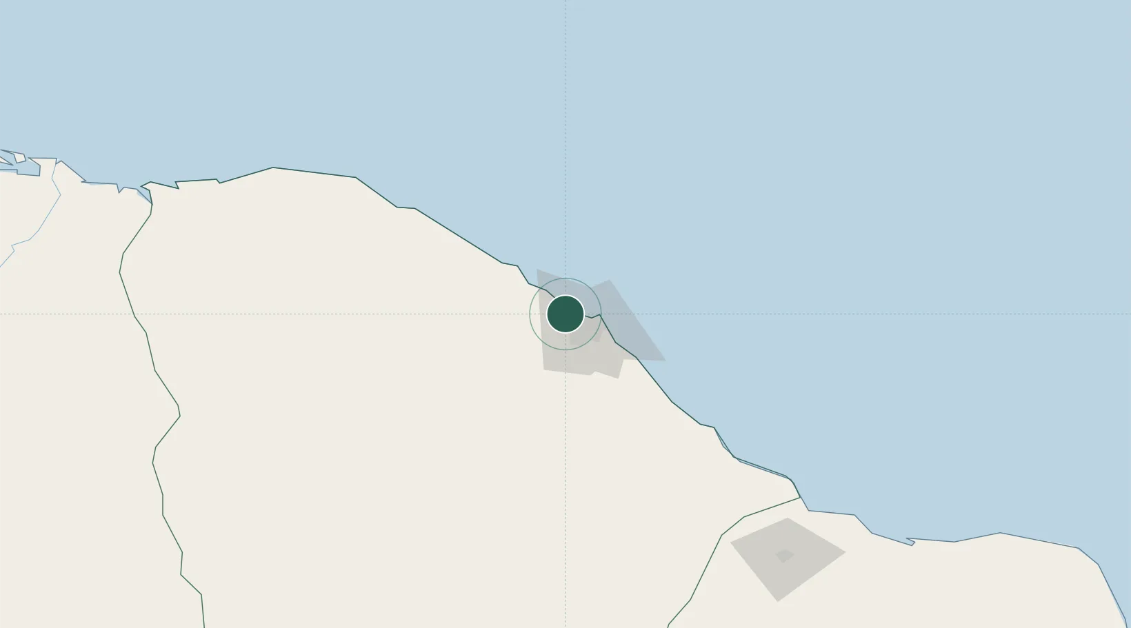
Pecém Pt / São Gonçalo do Amarante

-3.6938°, -38.6882°
2
Transport functions
1
Container terminals

Transport Functions

Port
Rail
UN/LOCODE

Hub Profile

Region
CE
GeoNames
Logistics facilities
17
UN/LOCODE
Container terminals
1
UN/LOCODE

Location

Location of BRPEC
Natural Earth 10m (public domain) · CE · BRPEC · -3.69, -38.69GoogleOSMYandex

Nearby Logistics Neighbours

Cities
  1. 1Fortaleza23 km
  2. 2Paracuru49 km
  3. 3Sobral183 km
  4. 4Mossoró222 km
  5. 5Areia Branca223 km
Nearest neighbours — logibook spatial index (haversine) over the source coordinates
Ports
  1. 1Camocim254 km
  2. 2Guamare Oil Terminal297 km
  3. 3Tutoia412 km
  4. 4Natal451 km
  5. 5Cabedelo561 km
Nearest neighbours — logibook spatial index (haversine) over the source coordinates
Airports
  1. 1Pinto Martins International Airport20 km
  2. 2Aracati Dragão do Mar Regional Airport138 km
  3. 3Quixadá Airport147 km
  4. 4Russas - João de Deus Regional Airport159 km
  5. 5Dr. Luciano de Arruda Coelho Regional Airport172 km
Nearest neighbours — logibook spatial index (haversine) over the source coordinates
Trade Zones
  1. 1ZPE de Pecém (CE) ( Port of Pecém)22 km
  2. 2ZPE de Parnaíba (PI)352 km
  3. 3ZPE de Macaíba (RN)433 km
  4. 4ZPE de João Pessoa (PB)564 km
  5. 5ZPE de São Luís639 km
Nearest neighbours — logibook spatial index (haversine) over the source coordinates
DatabookThe Record of Consolidated Knowledge
Brazil beyond logistics?
Browse databook

All Sources

LocationsUN/LOCODE
UN/LOCODE — free
Portsthe NGA World Port Index
Public domain (US gov)
AirportsOurAirports
Public domain
Trade Zonesthe World Bank SEZ database
CC BY 4.0
Trade ZonesOpen Zone Map
CC BY
← Brazil locations