UN/LOCODE hub · Brazil
BRFOR
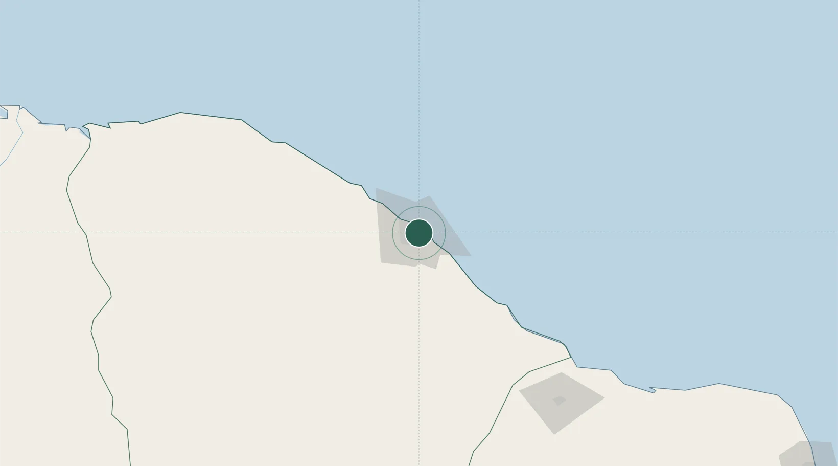
Fortaleza
-3.7927°, -38.5041°
2,400,000
Population
4
Transport functions
1
Container terminals
Transport Functions
Port
Rail
Road
Airport
Hub Profile
Place type
Regional capital
Region
Ceará
Population
2,400,000
Time zone
America/Fortaleza
Elevation
18 m
Logistics facilities
20
Container terminals
1
Location
Nearby Logistics Neighbours
Cities
- 1Pecém Pt / São Gonçalo do Amarante23 km
- 2Paracuru72 km
- 3Areia Branca201 km
- 4Mossoró201 km
- 5Sobral203 km
Ports
- 1Guamare Oil Terminal274 km
- 2Camocim277 km
- 3Natal428 km
- 4Tutoia434 km
- 5Cabedelo538 km
Airports
Trade Zones
- 1ZPE de Pecém (CE) ( Port of Pecém)45 km
- 2ZPE de Parnaíba (PI)374 km
- 3ZPE de Macaíba (RN)410 km
- 4ZPE de João Pessoa (PB)542 km
- 5ZPE de Suape (PE)644 km
DatabookThe Record of Consolidated Knowledge
Brazil beyond logistics?