Large airport · Brazil

Pinto Martins International AirportSBFZ
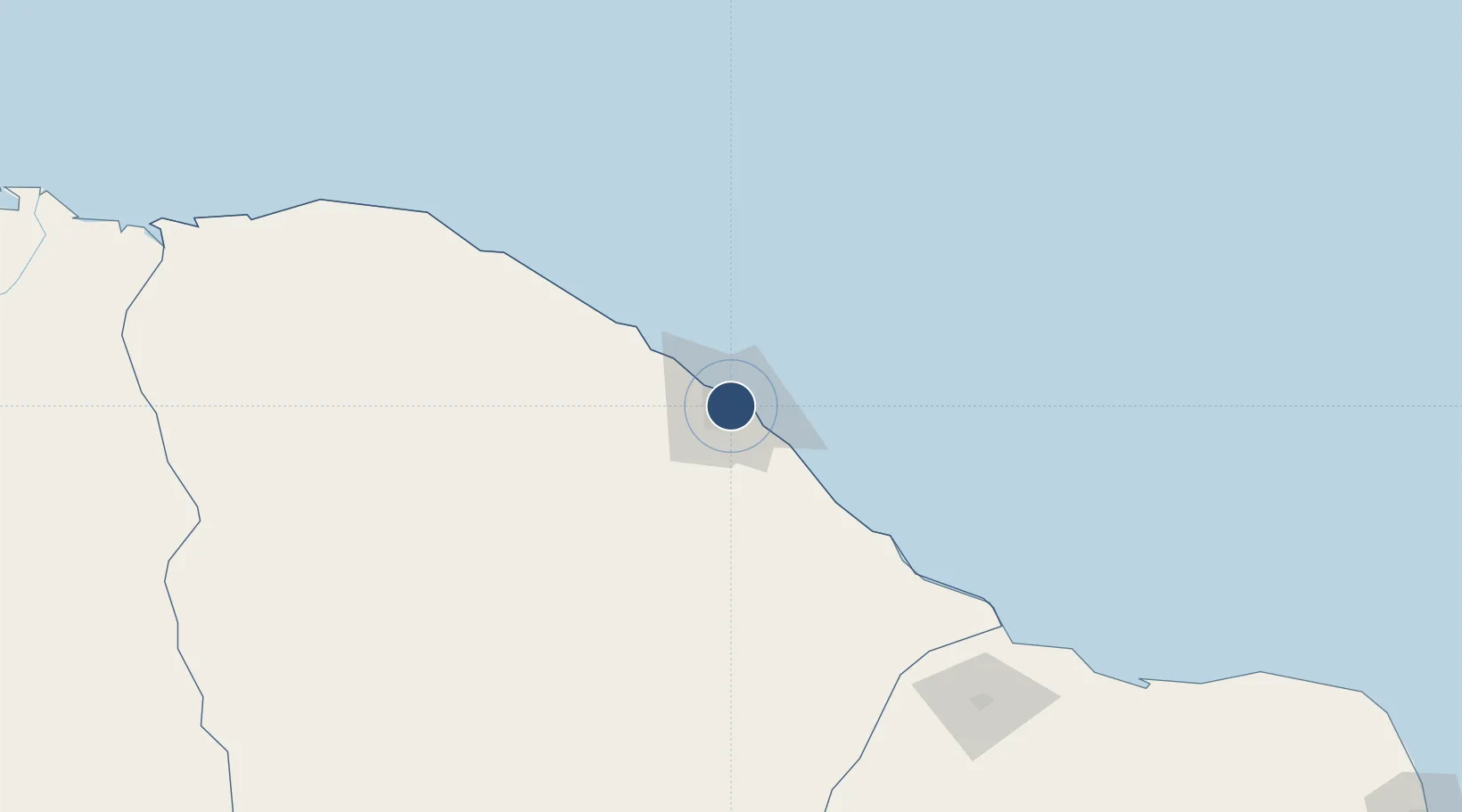
-3.7758°, -38.5322°
9,039 ft
Longest runway
1
Runways
83 ft
Elevation

Runway & Layout

Pinto Martins International Airport runway & taxiway layout
Runway & taxiway layout — OpenStreetMap (ODbL) / OurAirports

Radio Frequencies

ATIS
127.7 MHz
TWR
129 MHz
FORTALEZA TWR
GND
121.95 MHz
APP
133 MHz
FORTALEZA APP
OPS
122.5 MHz
FORTALEZA OPS
OurAirports

Navaids

FLZ VOR-DME Fortaleza 114.10 MHz
FLZ NDB Fortaleza 260 kHz
OurAirports

Runways · 1

RunwayDimensions SurfaceTrue headingLit
13/31 9,039 × 148ft ASPH 105°
OurAirports

Airport Specifications

IATA code
FOR
OurAirports
ICAO code
SBFZ
OurAirports
Airport class
Large airport
OurAirports
Scheduled service
Yes
OurAirports
Runway surface
ASPH
OurAirports
Served city
Fortaleza
OurAirports

Location

Location of SBFZ
Natural Earth 10m (public domain) · Ceará · SBFZ · -3.78, -38.53GoogleOSMYandex

Nearby Logistics Neighbours

Airports
  1. 1Aracati Dragão do Mar Regional Airport120 km
  2. 2Russas - João de Deus Regional Airport143 km
  3. 3Quixadá Airport143 km
  4. 4Dr. Luciano de Arruda Coelho Regional Airport189 km
  5. 5Dix-Sept Rosado Airport205 km
Nearest neighbours — logibook spatial index (haversine) over the source coordinates
Cities
  1. 1Fortaleza4 km
  2. 2Pecém Pt / São Gonçalo do Amarante20 km
  3. 3Paracuru68 km
  4. 4Sobral200 km
  5. 5Mossoró204 km
Nearest neighbours — logibook spatial index (haversine) over the source coordinates
Ports
  1. 1Camocim273 km
  2. 2Guamare Oil Terminal277 km
  3. 3Tutoia431 km
  4. 4Natal432 km
  5. 5Cabedelo542 km
Nearest neighbours — logibook spatial index (haversine) over the source coordinates
Trade Zones
  1. 1ZPE de Pecém (CE) ( Port of Pecém)41 km
  2. 2ZPE de Parnaíba (PI)371 km
  3. 3ZPE de Macaíba (RN)413 km
  4. 4ZPE de João Pessoa (PB)546 km
  5. 5ZPE de Suape (PE)647 km
Nearest neighbours — logibook spatial index (haversine) over the source coordinates
DatabookThe Record of Consolidated Knowledge
Brazil beyond logistics?
Browse databook

All Sources

AirportsOurAirports
Public domain
Portsthe NGA World Port Index
Public domain (US gov)
LocationsUN/LOCODE
UN/LOCODE — free
Trade Zonesthe World Bank SEZ database
CC BY 4.0
Trade ZonesOpen Zone Map
CC BY
InfrastructureOpenStreetMap
ODbL 1.0
← Brazil airports