Export Processing Zone · Brazil
ZPE de João Pessoa (PB) Under Development
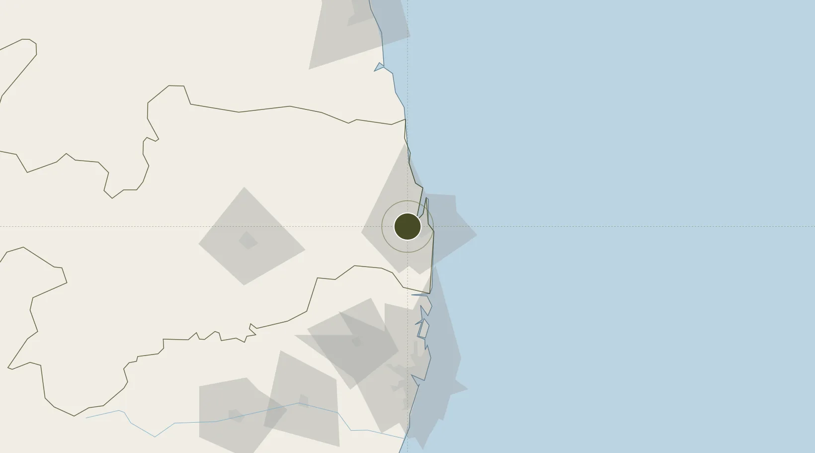
-7.1466°, -34.9516°
240 ha
Zone area
23.9 km
Nearest port
0.3 km
Nearest airport
Gateway access
Zone profile
Zone type
Export Processing Zone
Region
Paraíba
Status
Under Development
Management
Public
Operator
Cia. de Desenvolvimento Industrial da Paraíba (CINEP)
Legal framework
Decreto No 1.275, de 13 de Outubro de 1994; Law 11.508 / 2007, with the changes introduced by Laws 11.732 / 2008 and 12.767 / 2012
Location
Nearby Logistics Neighbours
Ports
- 1Cabedelo24 km
- 2Recife101 km
- 3Porto De Suape139 km
- 4Natal154 km
- 5Porto De Maceio293 km
Airports
Cities
- 1Cabedelo Pt / João Pessoa24 km
- 2Recife101 km
- 3Suape Pt / Ipojuca128 km
- 4Ipojuca136 km
- 5Natal155 km
Trade Zones
- 1ZPE de Suape (PE)139 km
- 2ZPE de Macaíba (RN)152 km
- 3ZPE de Barra dos Coqueiros (SE)476 km
- 4ZPE de Pecém (CE) ( Port of Pecém)586 km
- 5ZPE de Parnaíba (PI)887 km
DatabookThe Record of Consolidated Knowledge
Brazil beyond logistics?