Transport Functions
Port
Road
Hub Profile
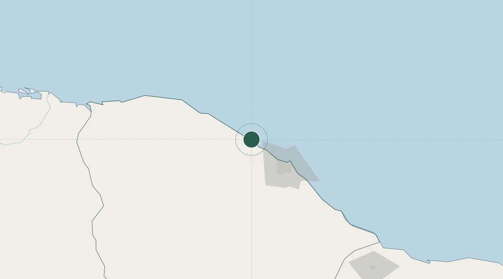
Place type
Populated place
Region
Ceará
Population
38,980
Time zone
America/Fortaleza
Elevation
23 m
Location
Nearby Logistics Neighbours
Cities
- 1Pecém Pt / São Gonçalo do Amarante49 km
- 2Fortaleza72 km
- 3Sobral150 km
- 4Crateús268 km
- 5Mossoró271 km
Ports
- 1Camocim209 km
- 2Guamare Oil Terminal344 km
- 3Tutoia369 km
- 4Natal499 km
- 5Itaqui601 km
Airports
Trade Zones
- 1ZPE de Pecém (CE) ( Port of Pecém)28 km
- 2ZPE de Parnaíba (PI)310 km
- 3ZPE de Macaíba (RN)481 km
- 4ZPE de São Luís597 km
- 5ZPE de João Pessoa (PB)613 km
DatabookThe Record of Consolidated Knowledge
Brazil beyond logistics?