Transport Functions
Port
Road
Hub Profile
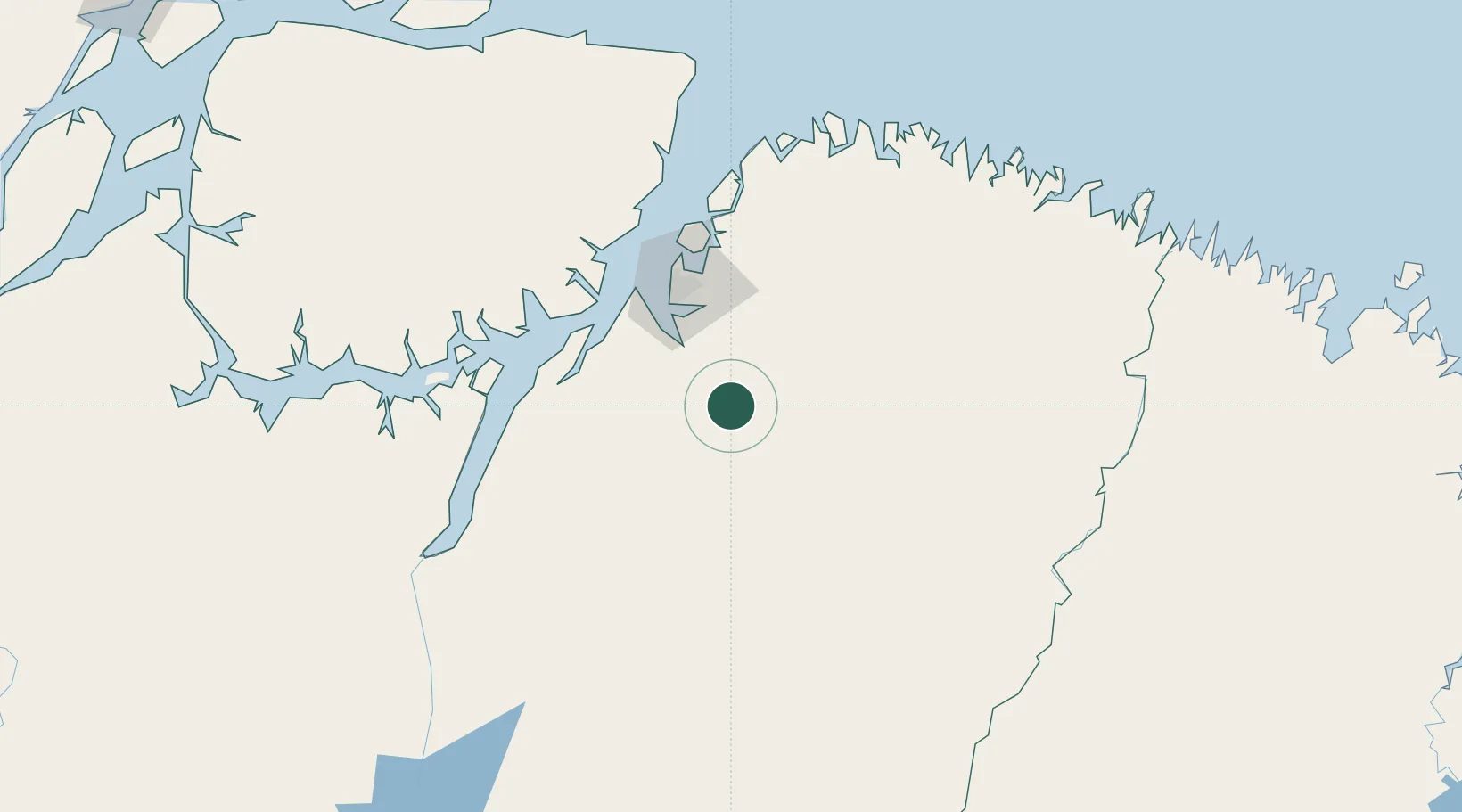
Place type
Populated place
Region
Pará
Population
59,023
Time zone
America/Belem
Elevation
6 m
Location
Nearby Logistics Neighbours
Cities
- 1Moju63 km
- 2Benevides67 km
- 3Ananindeua68 km
- 4Belém70 km
- 5Vila do Conde Pt / Barcarena77 km
Ports
- 1Belem65 km
- 2Vila Do Conde76 km
- 3Cameta148 km
- 4Porto Santana393 km
- 5Itaqui431 km
Airports
- 1Val de Cans/Júlio Cezar Ribeiro International Airport71 km
- 2Nagib Demachki Airport154 km
- 3Salinópolis Airport169 km
- 4Breves Airport252 km
- 5Tucuruí Airport265 km
Trade Zones
- 1ZPE de Barcarena (PA)68 km
- 2ZPE de São Luís436 km
- 3ZPE de Araguaína (TO)581 km
- 4ZPE de Parnaíba (PI)723 km
- 5ZPE de Pecém (CE) ( Port of Pecém)1054 km
DatabookThe Record of Consolidated Knowledge
Brazil beyond logistics?