Transport Functions
Port
Road
Hub Profile
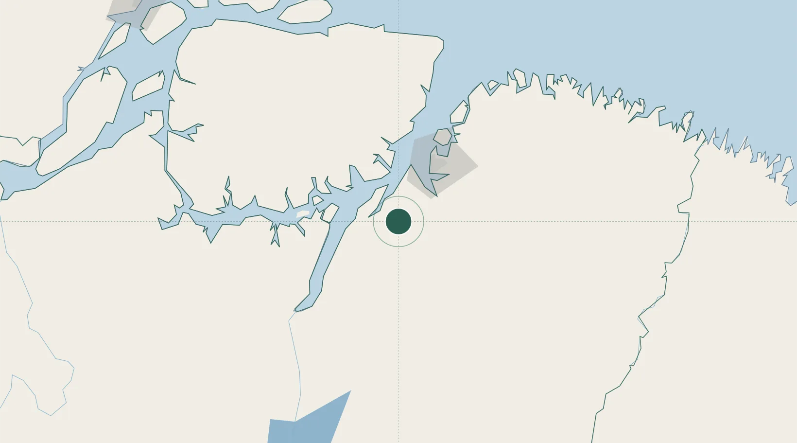
Place type
Populated place
Region
Pará
Population
84,094
Time zone
America/Belem
Elevation
9 m
Location
Nearby Logistics Neighbours
Cities
- 1Vila do Conde Pt / Barcarena38 km
- 2Acará63 km
- 3Belém64 km
- 4Ananindeua73 km
- 5Benevides84 km
Ports
- 1Vila Do Conde37 km
- 2Belem57 km
- 3Cameta91 km
- 4Porto Santana337 km
- 5Itaqui495 km
Airports
- 1Val de Cans/Júlio Cezar Ribeiro International Airport65 km
- 2Breves Airport188 km
- 3Nagib Demachki Airport205 km
- 4Salinópolis Airport207 km
- 5Tucuruí Airport237 km
Trade Zones
- 1ZPE de Barcarena (PA)43 km
- 2ZPE de São Luís499 km
- 3ZPE de Araguaína (TO)592 km
- 4ZPE de Parnaíba (PI)787 km
- 5ZPE de Pecém (CE) ( Port of Pecém)1118 km
DatabookThe Record of Consolidated Knowledge
Brazil beyond logistics?