Transport Functions
Port
Road
Hub Profile
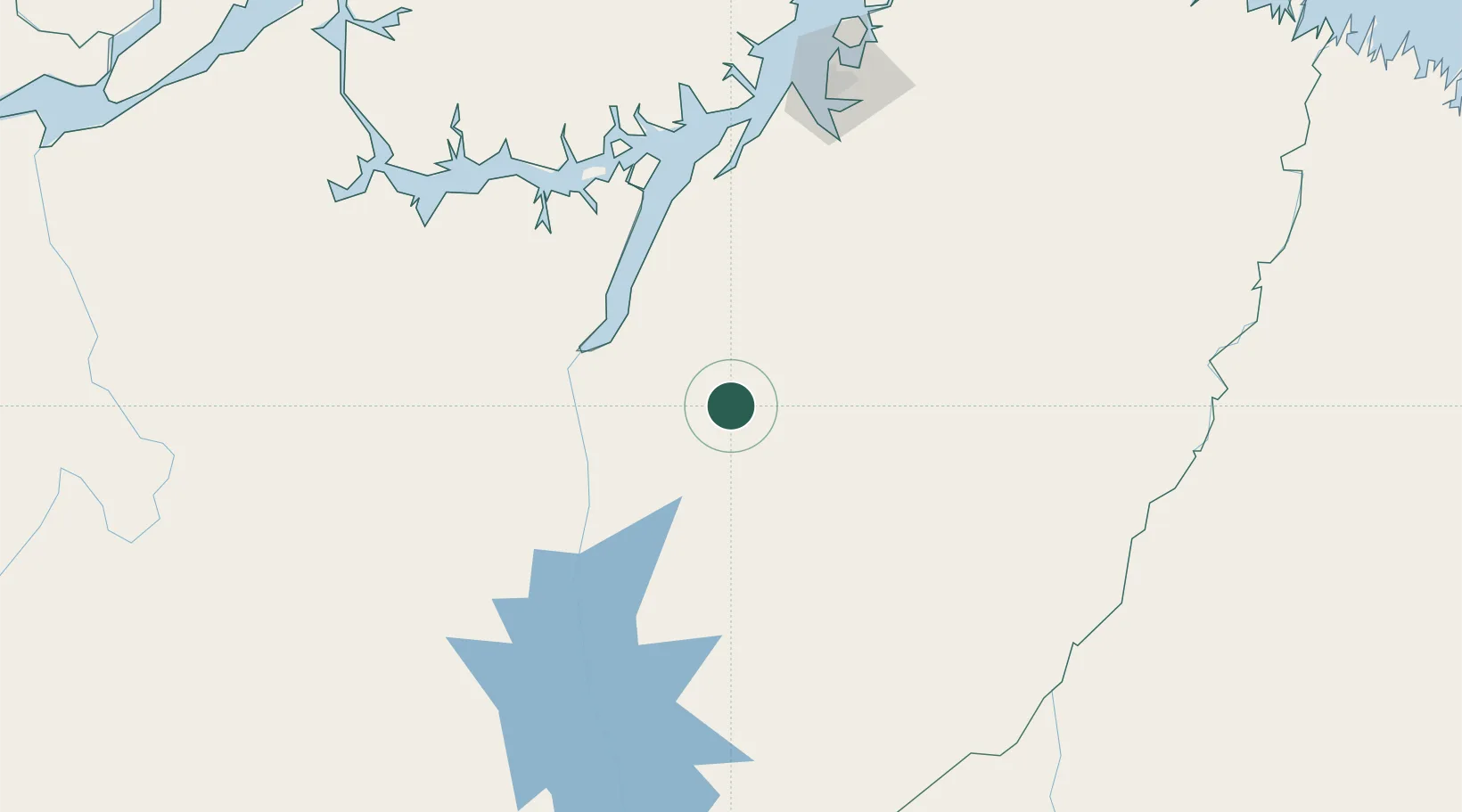
Place type
Populated place
Region
Pará
Population
72,493
Time zone
America/Belem
Elevation
47 m
Location
Nearby Logistics Neighbours
Cities
- 1Cametá98 km
- 2Moju119 km
- 3Acará138 km
- 4Vila do Conde Pt / Barcarena157 km
- 5Belém180 km
Ports
- 1Cameta98 km
- 2Vila Do Conde155 km
- 3Belem172 km
- 4Porto Santana406 km
- 5Itaqui511 km
Airports
- 1Tucuruí Airport128 km
- 2Val de Cans/Júlio Cezar Ribeiro International Airport181 km
- 3Nagib Demachki Airport182 km
- 4Breves Airport220 km
- 5João Correa da Rocha Airport272 km
Trade Zones
- 1ZPE de Barcarena (PA)161 km
- 2ZPE de Araguaína (TO)479 km
- 3ZPE de São Luís515 km
- 4ZPE de Parnaíba (PI)797 km
- 5ZPE de Pecém (CE) ( Port of Pecém)1124 km
DatabookThe Record of Consolidated Knowledge
Brazil beyond logistics?