UN/LOCODE hub · Brazil
BRVDC
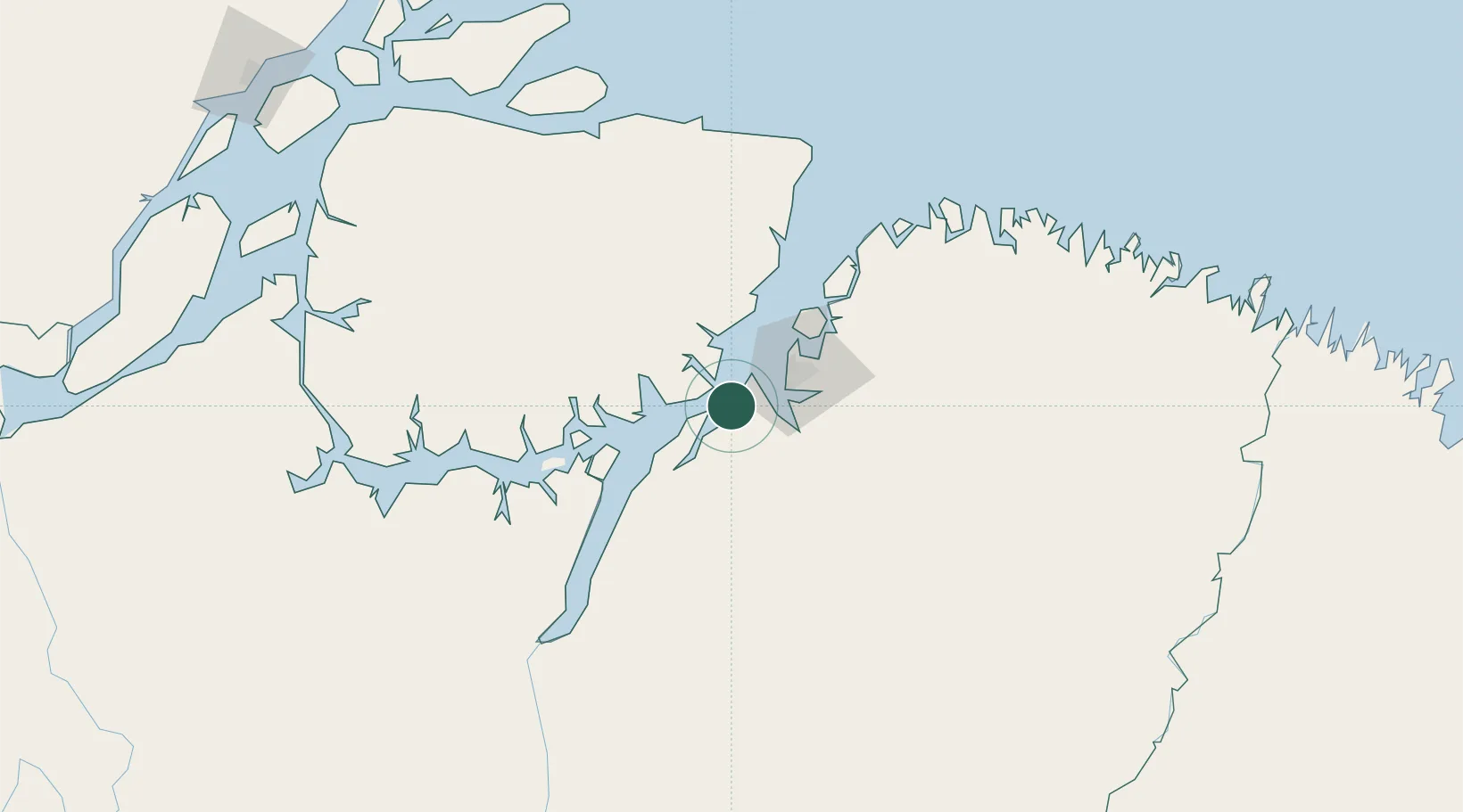
Vila do Conde Pt / Barcarena
-1.5394°, -48.7542°
1
Transport functions
1
Container terminals
Transport Functions
Port
Hub Profile
Region
PA
Logistics facilities
1
Container terminals
1
Location
Nearby Logistics Neighbours
Cities
- 1Belém35 km
- 2Moju38 km
- 3Ananindeua47 km
- 4Benevides62 km
- 5Cachoeira do Arari64 km
Ports
- 1Belem30 km
- 2Cameta115 km
- 3Porto Santana317 km
- 4Itaqui501 km
- 5Santarem670 km
Airports
- 1Val de Cans/Júlio Cezar Ribeiro International Airport36 km
- 2Salinópolis Airport183 km
- 3Breves Airport188 km
- 4Nagib Demachki Airport229 km
- 5Tucuruí Airport272 km
Trade Zones
- 1ZPE de Barcarena (PA)14 km
- 2ZPE de São Luís505 km
- 3ZPE de Araguaína (TO)630 km
- 4ZPE de Parnaíba (PI)792 km
- 5ZPE de Pecém (CE) ( Port of Pecém)1124 km
DatabookThe Record of Consolidated Knowledge
Brazil beyond logistics?