Medium airport · Malaysia
Limbang AirportWBGJ
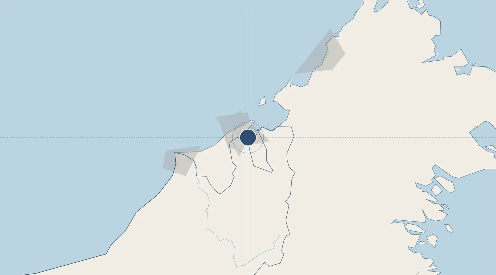
4.8083°, 115.0100°
4,922 ft
Longest runway
1
Runways
14 ft
Elevation
Runway & Layout

Radio Frequencies
TWR
124.3 MHz
GND
121.95 MHz
Navaids
VLG VOR-DME Limbang 113.40 MHz
Runways · 1
| Runway | Dimensions | Surface | True heading | Lit |
|---|---|---|---|---|
| 04/22 | 4,922 × 98ft | Asphalt | 037° | ✓ |
Airport Specifications
IATA code
LMN
ICAO code
WBGJ
Airport class
Medium airport
Scheduled service
Yes
Runway surface
Asphalt
Served city
Limbang
Location
Nearby Logistics Neighbours
Airports
- 1Brunei International Airport18 km
- 2Lawas Airport44 km
- 3Labuan Airport61 km
- 4Anduki Airport73 km
- 5Mulu Airport88 km
Cities
- 1Bandar Seri Begawan12 km
- 2Muara25 km
- 3Labuan58 km
- 4Menumbok68 km
- 5Beaufort101 km
Ports
- 1Bandar Seri Begawan16 km
- 2Muara Harbor26 km
- 3Lumut63 km
- 4Seria Oil Loading Terminal80 km
- 5Kuala Belait92 km
Trade Zones
- 1Muara Export Zone26 km
- 2Terunjing Free Trade Zone26 km
- 3Labuan Offshore Financial Centre58 km
- 4Mas Cargo Free Zone, Penang126 km
- 5Sabah Development Corridor172 km
DatabookThe Record of Consolidated Knowledge
Malaysia beyond logistics?