UN/LOCODE hub · India
INHND

Hemnagar Lcs

22.4500°, 88.9667°
2
Transport functions

Transport Functions

Multimodal
Border Crossing
UN/LOCODE

Hub Profile

Region
WB
GeoNames

Location

Location of INHND
Natural Earth 10m (public domain) · WB · INHND · 22.45, 88.97GoogleOSMYandex

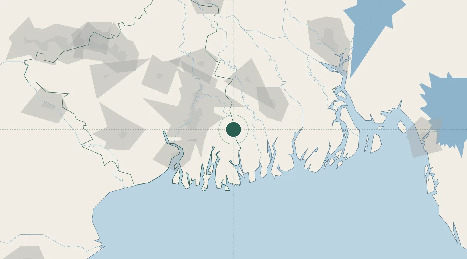
Nearby Logistics Neighbours

Cities
  1. 1Kolkata IT Park/Bantala63 km
  2. 2Wipro SEZ/Kolkata63 km
  3. 3Mongla65 km
  4. 4Benapole67 km
  5. 5Alipore67 km
Nearest neighbours — logibook spatial index (haversine) over the source coordinates
Ports
  1. 1Mongla65 km
  2. 2Calcutta66 km
  3. 3Haldia Port103 km
  4. 4Dhamra275 km
  5. 5Chittagong293 km
Nearest neighbours — logibook spatial index (haversine) over the source coordinates
Airports
  1. 1Netaji Subhash Chandra Bose International Airport58 km
  2. 2Jessore Airport84 km
  3. 3Barisal Airport142 km
  4. 4Ishurdi Airport190 km
  5. 5Panagarh Air Force Station194 km
Nearest neighbours — logibook spatial index (haversine) over the source coordinates
Trade Zones
  1. 1Tata Consultancy Services Limited51 km
  2. 2Unitech Hi-tech Structures Ltd.52 km
  3. 3Manikanchan SEZ, W. Bengal57 km
  4. 4Salt Lake Electronic City57 km
  5. 5Manikanchan Special Economic Zone57 km
Nearest neighbours — logibook spatial index (haversine) over the source coordinates
DatabookThe Record of Consolidated Knowledge
India beyond logistics?
Browse databook

All Sources

LocationsUN/LOCODE
UN/LOCODE — free
Portsthe NGA World Port Index
Public domain (US gov)
AirportsOurAirports
Public domain
Trade Zonesthe World Bank SEZ database
CC BY 4.0
Trade ZonesOpen Zone Map
CC BY
← India locations