Diversified Zone · Bangladesh

Indian Economic Zone: Mongla Active
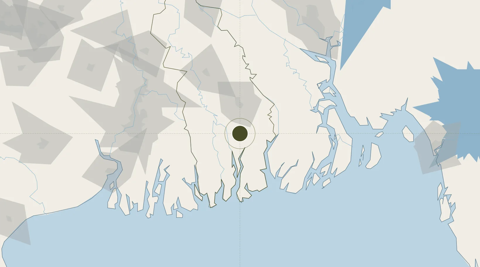
22.4931°, 89.5670°
43 ha
Zone area
4.5 km
Nearest port
82.8 km
Nearest airport

Gateway access

Nearest neighbours — logibook spatial index (haversine) over the source coordinates

Zone profile

Zone type
Diversified Zone
Open Zone Map
Region
Khulna
Open Zone Map
Status
Active
Open Zone Map
Management
Public
Open Zone Map
Operator
Bangladesh Economic Zone Authority
Open Zone Map
Legal framework
The Bangladesh Economic Zones Authority Act, 2010, The Foreign Private Investment (Promotion & Protection) Act, 1980, One Stop Service Act, 2018.
Open Zone Map

Location

Location of ozm-141
Natural Earth 10m (public domain) · Khulna · ozm-141 · 22.49, 89.57GoogleOSMYandex

Nearby Logistics Neighbours

Ports
  1. 1Mongla5 km
  2. 2Calcutta127 km
  3. 3Haldia Port162 km
  4. 4Chittagong232 km
  5. 5Dhamra327 km
Nearest neighbours — logibook spatial index (haversine) over the source coordinates
Airports
  1. 1Barisal Airport83 km
  2. 2Jessore Airport87 km
  3. 3Netaji Subhash Chandra Bose International Airport116 km
  4. 4Hazrat Shahjalal International Airport173 km
  5. 5Ishurdi Airport192 km
Nearest neighbours — logibook spatial index (haversine) over the source coordinates
Cities
  1. 1Mongla3 km
  2. 2Hemnagar Lcs62 km
  3. 3Benapole92 km
  4. 4Payra Port95 km
  5. 5Kolkata IT Park/Bantala124 km
Nearest neighbours — logibook spatial index (haversine) over the source coordinates
Trade Zones
  1. 1Mongla Export Processing Zone4 km
  2. 2Mongla Economic Zone4 km
  3. 3Rampal Economic Zone12 km
  4. 4Khulna Economic Zone - 129 km
  5. 5Sundarban Tourism Park35 km
Nearest neighbours — logibook spatial index (haversine) over the source coordinates
DatabookThe Record of Consolidated Knowledge
Bangladesh beyond logistics?
Browse databook

All Sources

Trade ZonesOpen Zone Map
CC BY
Portsthe NGA World Port Index
Public domain (US gov)
AirportsOurAirports
Public domain
LocationsUN/LOCODE
UN/LOCODE — free
← Bangladesh trade zones