Transport Functions
Port
Hub Profile
Place type
Populated place
Region
Khulna Division
Time zone
Asia/Dhaka
Elevation
7 m
Logistics facilities
3
Container terminals
1
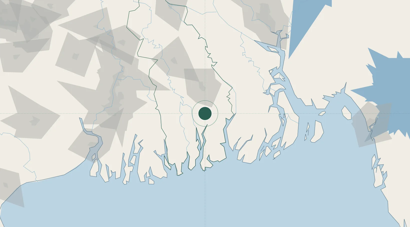
Location
Nearby Logistics Neighbours
Cities
- 1Hemnagar Lcs65 km
- 2Payra Port92 km
- 3Benapole95 km
- 4Kolkata IT Park/Bantala126 km
- 5Wipro SEZ/Kolkata126 km
Ports
- 1Calcutta130 km
- 2Haldia Port164 km
- 3Chittagong229 km
- 4Dhamra329 km
- 5Paradip389 km
Airports
- 1Barisal Airport81 km
- 2Jessore Airport90 km
- 3Netaji Subhash Chandra Bose International Airport119 km
- 4Hazrat Shahjalal International Airport172 km
- 5Ishurdi Airport194 km
Trade Zones
DatabookThe Record of Consolidated Knowledge
Bangladesh beyond logistics?