Transport Functions
Port
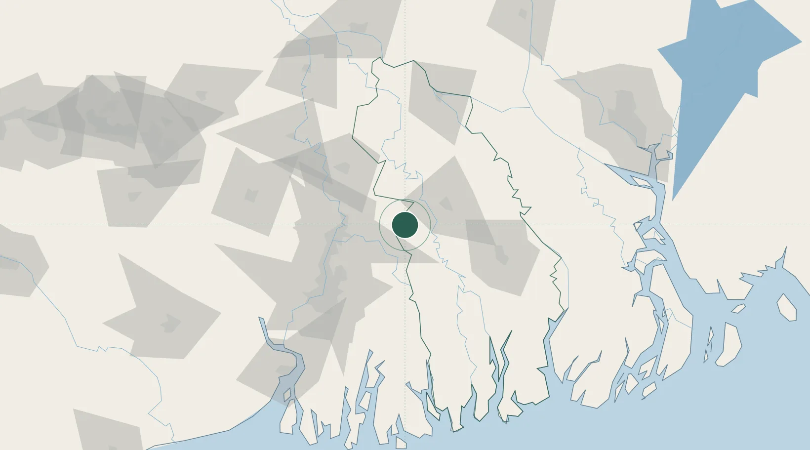
Location
Nearby Logistics Neighbours
Cities
- 1Hemnagar Lcs67 km
- 2Kolkata IT Park/Bantala77 km
- 3Wipro SEZ/Kolkata77 km
- 4Howrah82 km
- 5Kolkata (ex Calcutta)82 km
Ports
- 1Calcutta80 km
- 2Mongla97 km
- 3Haldia Port142 km
- 4Chittagong310 km
- 5Dhamra319 km
Airports
- 1Jessore Airport31 km
- 2Netaji Subhash Chandra Bose International Airport64 km
- 3Ishurdi Airport124 km
- 4Barisal Airport146 km
- 5Shah Makhdum Airport157 km
Trade Zones
DatabookThe Record of Consolidated Knowledge
Bangladesh beyond logistics?