Export Processing Zone · Bangladesh

Mongla Export Processing Zone Active
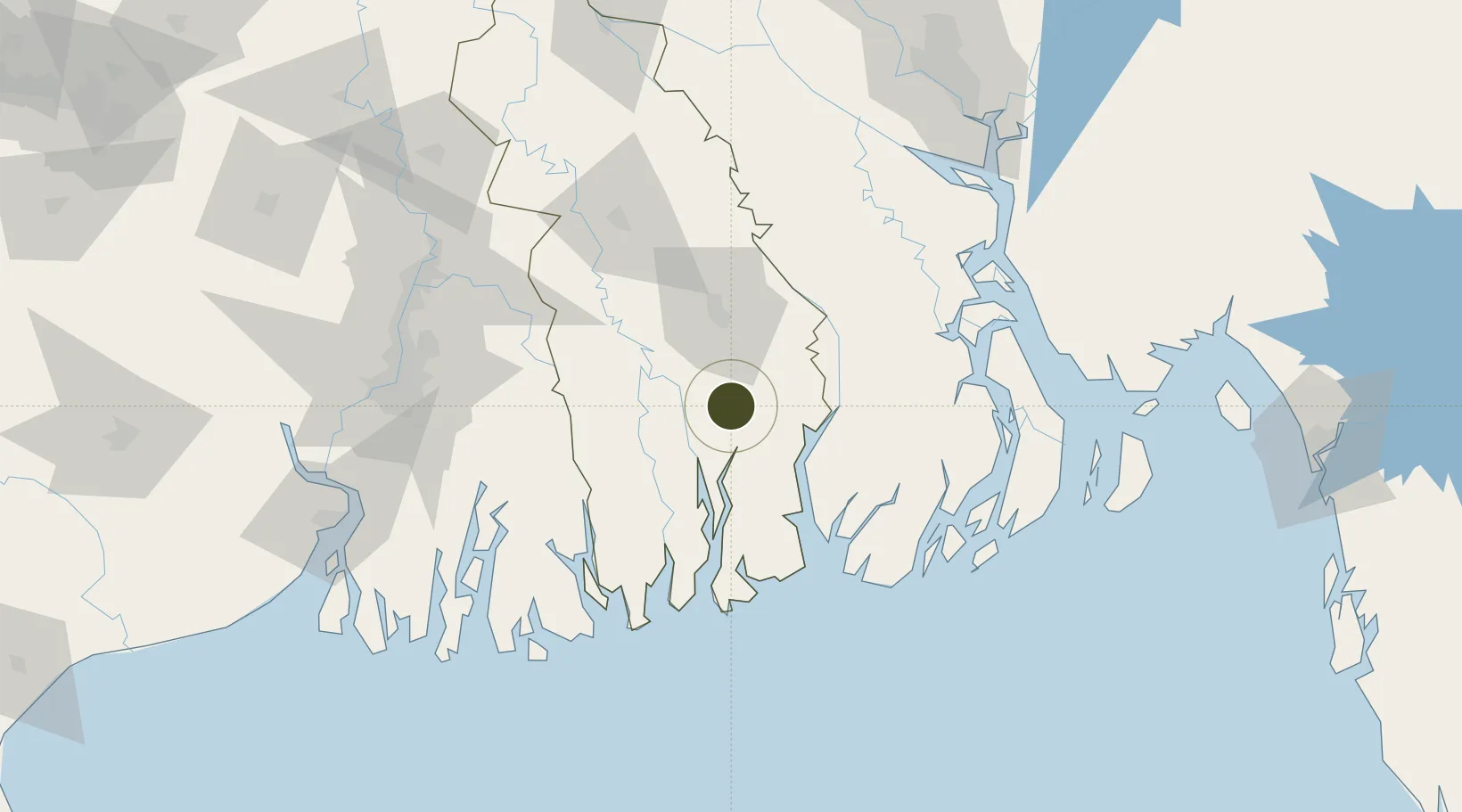
22.4881°, 89.6017°
103 ha
Zone area
2.4 km
Nearest port
79.8 km
Nearest airport

Gateway access

Nearest neighbours — logibook spatial index (haversine) over the source coordinates

Zone profile

Zone type
Export Processing Zone
the World Bank SEZ database
Region
Khulna
the World Bank SEZ database
Status
Active
the World Bank SEZ database
Established
2002
the World Bank SEZ database
Management
Public agency
the World Bank SEZ database
Operator
BEPZA
the World Bank SEZ database
Regulatory authority
Bangladesh Export Processing Zones Authority (BEPZA)
the World Bank SEZ database
Legal framework
Bangladesh Export Processing Zone Act
the World Bank SEZ database

Location

Location of BGD7
Natural Earth 10m (public domain) · Khulna · BGD7 · 22.49, 89.60GoogleOSMYandex

Fiscal & incentives

Corporate tax
25%
the World Bank SEZ database
Tax relief
100% exempt
the World Bank SEZ database
Relief duration
3 years
the World Bank SEZ database
VAT
No exemption
the World Bank SEZ database
Import duty (inputs)
100% exempt
the World Bank SEZ database
Import duty (capex)
100% exempt
the World Bank SEZ database
Profit repatriation
100% exempt from repatriation tax on capital and dividends
the World Bank SEZ database
Capital gains
No exemption
the World Bank SEZ database
Withholding tax
100% exempt from dividend tax
the World Bank SEZ database
Min. investment
None
the World Bank SEZ database
Min. export
90%
the World Bank SEZ database
Employment incentive
No exemption
the World Bank SEZ database
Developer incentive
No established framework
the World Bank SEZ database

Nearby Logistics Neighbours

Ports
  1. 1Mongla2 km
  2. 2Calcutta131 km
  3. 3Haldia Port165 km
  4. 4Chittagong229 km
  5. 5Dhamra330 km
Nearest neighbours — logibook spatial index (haversine) over the source coordinates
Airports
  1. 1Barisal Airport80 km
  2. 2Jessore Airport90 km
  3. 3Netaji Subhash Chandra Bose International Airport120 km
  4. 4Hazrat Shahjalal International Airport171 km
  5. 5Ishurdi Airport194 km
Nearest neighbours — logibook spatial index (haversine) over the source coordinates
Cities
  1. 1Mongla1 km
  2. 2Hemnagar Lcs65 km
  3. 3Payra Port92 km
  4. 4Benapole95 km
  5. 5Kolkata IT Park/Bantala127 km
Nearest neighbours — logibook spatial index (haversine) over the source coordinates
Trade Zones
  1. 1Mongla Economic Zone1 km
  2. 2Indian Economic Zone: Mongla4 km
  3. 3Rampal Economic Zone11 km
  4. 4Khulna Economic Zone - 131 km
  5. 5Sundarban Tourism Park36 km
Nearest neighbours — logibook spatial index (haversine) over the source coordinates
DatabookThe Record of Consolidated Knowledge
Bangladesh beyond logistics?
Browse databook

All Sources

Trade Zonesthe World Bank SEZ database
CC BY 4.0
Portsthe NGA World Port Index
Public domain (US gov)
AirportsOurAirports
Public domain
LocationsUN/LOCODE
UN/LOCODE — free
← Bangladesh trade zones