Transport Functions
Port
Hub Profile
Region
06
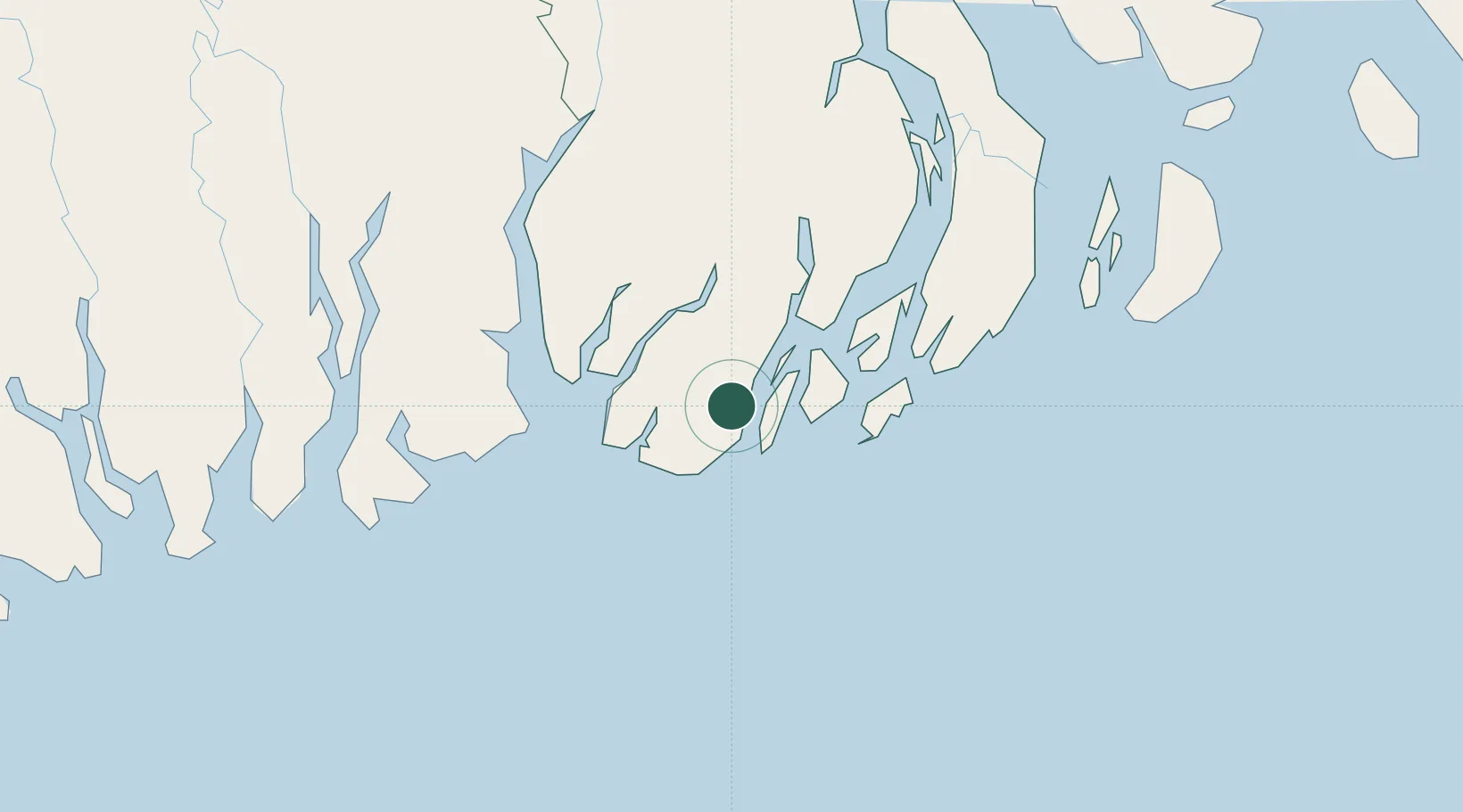
Location
Nearby Logistics Neighbours
Cities
- 1Mongla92 km
- 2Hemnagar Lcs146 km
- 3Chattogram163 km
- 4Panchashar183 km
- 5Narayanganj184 km
Ports
- 1Mongla91 km
- 2Chittagong165 km
- 3Calcutta211 km
- 4Haldia Port225 km
- 5Sittwe339 km
Airports
- 1Barisal Airport97 km
- 2Shah Amanat International Airport163 km
- 3Jessore Airport180 km
- 4Cox's Bazar Airport183 km
- 5Netaji Subhash Chandra Bose International Airport204 km
Trade Zones
- 1Bhola Economic Zone86 km
- 2Mongla Export Processing Zone92 km
- 3Mongla Economic Zone93 km
- 4Indian Economic Zone: Mongla95 km
- 5Rampal Economic Zone96 km
DatabookThe Record of Consolidated Knowledge
Bangladesh beyond logistics?